| Folder No. | County Name City |
Scanning | TSR | Quadrangle | Lat/Long | Project | Dates | Miscellaneous | Range of sheets | No. of sheets |
Cabinet | Notes |
|---|---|---|---|---|---|---|---|---|---|---|---|---|
|
Sheet 1, No. 252
View |
Butler
El Dorado |
Scanned
(8 online) |
T. 25-26 S., R. 4-5 E. | El Dorado SW |
37.823169
-96.94152 |
GS-VENV | 3-21-1978 | Flights 1 and 2 N.S. 20,000 | 1-89 to 1-92/1-103 to 1-106 | 7 | 5 | See El Dorado Index Sheet |
Click on any thumbnail to view a larger photo.
|
GS-VENV_1-89
37.772949 -96.911892 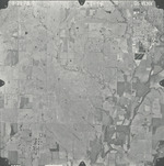
|
GS-VENV_1-90
37.804966 -96.910971 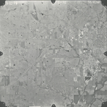
|
GS-VENV_1-91
37.840709 -96.910314 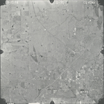
|
GS-VENV_1-92
37.877161 -96.910051 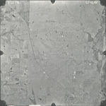
|
GS-VENV_1-103
37.871588 -96.972573 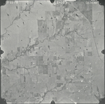
|
GS-VENV_1-104
37.83986 -96.974143 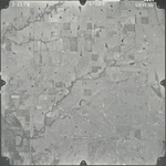
|
|
GS-VENV_1-105
37.804234 -96.971422 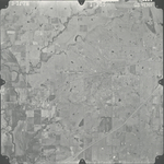
|
GS-VENV_1-106
37.773884 -96.970794 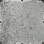
|