| Folder No. | County Name City |
Scanning | TSR | Quadrangle | Lat/Long | Project | Dates | Miscellaneous | Range of sheets | No. of sheets |
Cabinet | Notes |
|---|---|---|---|---|---|---|---|---|---|---|---|---|
|
Sheet 1, No. 255
View |
Butler
Potwin, Brainerd |
Scanned
(36 online) |
T. 24 S., R. 4 E. | Potwin |
37.942383
-97.068866 |
GS-VZE | 8-3-1959 | Flights 1, 2, 3, 4, and 5 (Elevation = 8500?) | 123-131; 30-35; 54-60; 106-112; 130-136 | 36 | 6 | Photo #s 17-24 have been crossed out on folder with note For complete coverage along S edge see El Dorado SW |
Click on any thumbnail to view a larger photo.
|
GS-VZE_1-123
37.992566 -97.162262 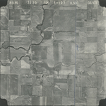
|
GS-VZE_1-124
37.993035 -97.143662 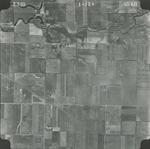
|
GS-VZE_1-125
37.992762 -97.125161 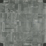
|
GS-VZE_1-126
37.992957 -97.105816 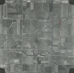
|
GS-VZE_1-127
37.992683 -97.087365 
|
GS-VZE_1-128
37.992605 -97.067673 
|
|
GS-VZE_1-129
37.992332 -97.04942 
|
GS-VZE_1-130
37.991472 -97.032555 
|
GS-VZE_1-131
37.991159 -97.014699 
|
GS-VZE_2-30
37.96555 -97.015244 
|
GS-VZE_2-31
37.966136 -97.034738 
|
GS-VZE_2-32
37.965784 -97.053536 
|
|
GS-VZE_2-33
37.964963 -97.071939 
|
GS-VZE_2-34
37.965393 -97.091878 
|
GS-VZE_2-35
37.964455 -97.108445 
|
GS-VZE_2-54
37.941035 -97.114834 
|
GS-VZE_2-55
37.940874 -97.095729 
|
GS-VZE_2-56
37.940874 -97.077905 
|
|
GS-VZE_2-57
37.941359 -97.058902 
|
GS-VZE_2-58
37.941278 -97.040514 
|
GS-VZE_2-59
37.93942 -97.023151 
|
GS-VZE_2-60
37.939016 -97.004712 
|
GS-VZE_2-106
37.912391 -97.0147 
|
GS-VZE_2-107
37.913401 -97.03109 
|
|
GS-VZE_2-108
37.91332 -97.051322 
|
GS-VZE_2-109
37.913805 -97.069914 
|
GS-VZE_2-110
37.913764 -97.088148 
|
GS-VZE_2-111
37.913199 -97.106997 
|
GS-VZE_2-112
37.912673 -97.125641 
|
GS-VZE_2-130
37.8881 -97.11509 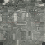
|
|
GS-VZE_2-131
37.888585 -97.095934 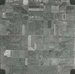
|
GS-VZE_2-132
37.890081 -97.076675 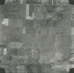
|
GS-VZE_2-133
37.890364 -97.059568 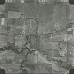
|
GS-VZE_2-134
37.889434 -97.040309 
|
GS-VZE_2-135
37.889515 -97.021409 
|
GS-VZE_2-136
37.889434 -97.002253 
|