| Folder No. | County Name City |
Scanning | TSR | Quadrangle | Lat/Long | Project | Dates | Miscellaneous | Range of sheets | No. of sheets |
Cabinet | Notes |
|---|---|---|---|---|---|---|---|---|---|---|---|---|
|
Sheet 1, No. 257
View |
Butler
Cassoday |
Scanned
(12 online) |
T. 26 S., R. 8 E | Cassoday, Rosalia NW |
37.966518
-96.684599 |
GS-VENV | 3-21-1978 | Flights 1 and 2 NS 20001 | 20-25; 19-14 | 12 | 6 | See El Dorado index sheet + Rosalia W/2 |
Click on any thumbnail to view a larger photo.
|
GS-VENV_1-14
37.875674 -96.652995 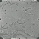
|
GS-VENV_1-15
37.910373 -96.654149 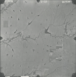
|
GS-VENV_1-16
37.940256 -96.653414 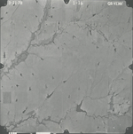
|
GS-VENV_1-17
37.975835 -96.654254 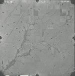
|
GS-VENV_1-18
38.00718 -96.65268 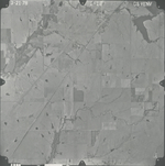
|
GS-VENV_1-19
38.042395 -96.65205 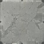
|
|
GS-VENV_1-20
38.057005 -96.718809 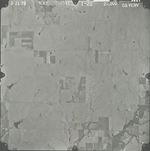
|
GS-VENV_1-21
38.02378 -96.716185 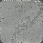
|
GS-VENV_1-22
37.990871 -96.715451 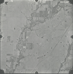
|
GS-VENV_1-23
37.957451 -96.714506 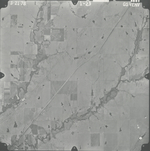
|
GS-VENV_1-24
37.926748 -96.715765 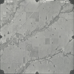
|
GS-VENV_1-25
37.890648 -96.714926 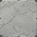
|