| Folder No. | County Name City |
Scanning | TSR | Quadrangle | Lat/Long | Project | Dates | Miscellaneous | Range of sheets | No. of sheets |
Cabinet | Notes |
|---|---|---|---|---|---|---|---|---|---|---|---|---|
|
Sheet 1, No. 258
View |
Butler
Pontiac |
Scanned
(7 online) |
T. 25-26 S., R. 6-7 E | Pontiac |
37.811071
-96.688054 |
GS-VENV | 3-21-1978 | Flights 1 and 2 NS 20002 | 26-29; 13-11 | 7 | 6 | See El Dorado index sheet + Rosalia W/2 |
Click on any thumbnail to view a larger photo.
|
GS-VENV_1-11
37.776319 -96.652363 
|
GS-VENV_1-12
37.810658 -96.653945 
|
GS-VENV_1-13
37.842923 -96.653294 
|
GS-VENV_1-26
37.859601 -96.713869 
|
GS-VENV_1-27
37.829107 -96.714055 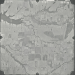
|
GS-VENV_1-28
37.795733 -96.714521 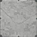
|
|
GS-VENV_1-29
37.763153 -96.714334 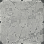
|