| Folder No. | County Name City |
Scanning | TSR | Quadrangle | Lat/Long | Project | Dates | Miscellaneous | Range of sheets | No. of sheets |
Cabinet | Notes |
|---|---|---|---|---|---|---|---|---|---|---|---|---|
|
Sheet 1, No. 261
View |
Butler
Keighley |
Scanned
(8 online) |
T. 26-28 S., R. 6-7 E. | Keighley |
37.687844
-96.685779 |
GS-VENV | 3-21-1978 | Flights 1 and 2 N.S. 20,000 | 1-7 to 1-10/1-30 to 1-33 | 8 | 5 | See Latham Index Sheets w/2 |
Click on any thumbnail to view a larger photo.
|
GS-VENV_1-7
37.644195 -96.647665 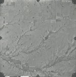
|
GS-VENV_1-8
37.679321 -96.651229 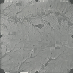
|
GS-VENV_1-9
37.714642 -96.651942 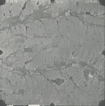
|
GS-VENV_1-10
37.743886 -96.651852 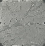
|
GS-VENV_1-30
37.728931 -96.720218 
|
GS-VENV_1-31
37.696931 -96.717634 
|
|
GS-VENV_1-32
37.663224 -96.722446 
|
GS-VENV_1-33
37.631619 -96.723247 
|