| Folder No. | County Name City |
Scanning | TSR | Quadrangle | Lat/Long | Project | Dates | Miscellaneous | Range of sheets | No. of sheets |
Cabinet | Notes |
|---|---|---|---|---|---|---|---|---|---|---|---|---|
|
Sheet 1, No. 269
View |
Butler
Leon |
Scanned
(8 online) |
T. 27 S., R. 6 E. | Leon |
37.684546
-96.814253 |
N.S. 20,000 GS-VENV | 3-21-1978 | Flight 1 and 2 | 1-46 to 1-49/1-69 to 1-72 | 8 | 5 | See Augusta Index Sheet and El Dorado and Latham w/2 |
Click on any thumbnail to view a larger photo.
|
GS-VENV_1-46
37.64142 -96.782277 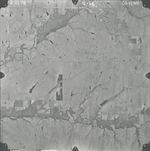
|
GS-VENV_1-47
37.675628 -96.787382 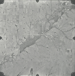
|
GS-VENV_1-48
37.708279 -96.786687 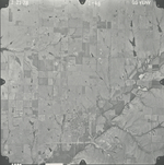
|
GS-VENV_1-49
37.741904 -96.785159 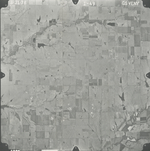
|
GS-VENV_1-69
37.727059 -96.84438 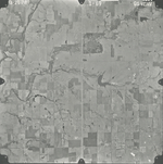
|
GS-VENV_1-70
37.693647 -96.842573 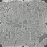
|
|
GS-VENV_1-71
37.66 -96.841601 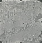
|
GS-VENV_1-72
37.628428 -96.843963 
|