| Folder No. | County Name City |
Scanning | TSR | Quadrangle | Lat/Long | Project | Dates | Miscellaneous | Range of sheets | No. of sheets |
Cabinet | Notes |
|---|---|---|---|---|---|---|---|---|---|---|---|---|
|
Sheet 1, No. 282
View |
Chase
No city |
Scanned
(19 online) |
T. 20-23 S., R. 9 E. | Thrall NW and Shaw Creek |
38.191059
-96.372703 |
AH | 11-9-1936 | Flight 3? | AH-3-37 to AH-3-55 | 19 | 6 | Easten Edge of Chase County Map Odd No. Photos 9-0 |
Click on any thumbnail to view a larger photo.
|
AH-3-37
38.07065 -96.374736 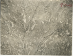
|
AH-3-38
38.081947 -96.373934 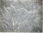
|
AH-3-39
38.096856 -96.373577 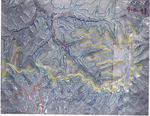
|
AH-3-40
38.10843 -96.376385 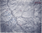
|
AH-3-41
38.124841 -96.378123 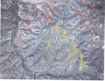
|
AH-3-42
38.136586 -96.376474 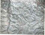
|
|
AH-3-43
38.150538 -96.375583 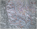
|
AH-3-44
38.162594 -96.372374 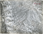
|
AH-3-45
38.172406 -96.372998 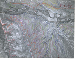
|
AH-3-46
38.189864 -96.374444 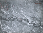
|
AH-3-47
38.205091 -96.372146 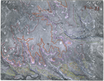
|
AH-3-48
38.218049 -96.370586 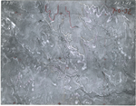
|
|
AH-3-49
38.230829 -96.370408 
|
AH-3-50
38.246092 -96.369516 
|
AH-3-51
38.260023 -96.369293 
|
AH-3-52
38.27423 -96.369026 
|
AH-3-53
38.289065 -96.369338 
|
AH-3-54
38.300433 -96.370452 
|
|
AH-3-55
38.31159 -96.371968 
|