| Folder No. | County Name City |
Scanning | TSR | Quadrangle | Lat/Long | Project | Dates | Miscellaneous | Range of sheets | No. of sheets |
Cabinet | Notes |
|---|---|---|---|---|---|---|---|---|---|---|---|---|
|
Sheet 1, No. 296
View |
Chase
Elmdale, Cottonwood Falls, Bazaar |
Scanned
(10 online) |
T. 20 S., R. 7 E. | Elmdale, Cottonwood Falls |
38.322723
-96.623235 |
Cottonwood Falls GS-VDBY | 11-4-1972, 11-22-1972 | Flights 1, 2, 3, and 4 EW 11000 | 1-8; 300-308; 230-236; 229-222 | 10 | 6 | Some photos are missing |
Click on any thumbnail to view a larger photo.
|
GS-VDBY_1-223
38.280014 -96.531324 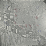
|
GS-VDBY_1-225
38.281997 -96.575847 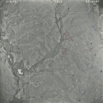
|
GS-VDBY_1-229
38.283134 -96.671616 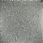
|
GS-VDBY_1-230
38.283869 -96.684417 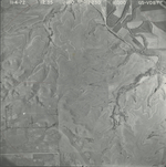
|
GS-VDBY_1-300
38.337783 -96.684841 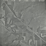
|
GS-VDBY_1-301
38.339686 -96.664824 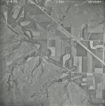
|
|
GS-VDBY_1-305
38.343339 -96.574503 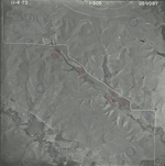
|
GS-VDBY_1-307
38.340802 -96.526921 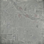
|
GS-VDBY_2-1
38.36764 -96.671295 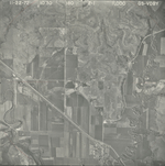
|
GS-VDBY_2-2
38.368961 -96.646762 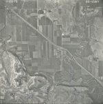
|