| Folder No. | County Name City |
Scanning | TSR | Quadrangle | Lat/Long | Project | Dates | Miscellaneous | Range of sheets | No. of sheets |
Cabinet | Notes |
|---|---|---|---|---|---|---|---|---|---|---|---|---|
|
Sheet 1, No. 300
View |
Chase
No city |
Scanned
(13 online) |
T. 18-19 S., R. 6-7 E. | Lincolnville NE, Hymer |
38.434514
-96.727568 |
Newton Revision GS-VFKD | 4-16-1986 | Flights 1, 2, 3, and 4 EW 12000 | 306-299; 258-264; 257-251; 210-216 | 13 | 6 |
Click on any thumbnail to view a larger photo.
|
GS-VFKD_1-210
38.385033 -96.78488 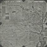
|
GS-VFKD_1-211
38.385092 -96.764852 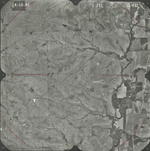
|
GS-VFKD_1-212
38.385092 -96.764852 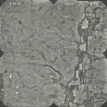
|
GS-VFKD_1-213
38.385328 -96.713804 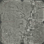
|
GS-VFKD_1-253
38.420553 -96.699423 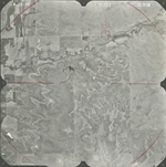
|
GS-VFKD_1-257
38.421389 -96.802153 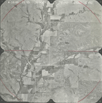
|
|
GS-VFKD_1-260
38.457416 -96.734732 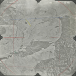
|
GS-VFKD_1-261
38.456517 -96.709515 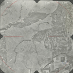
|
GS-VFKD_1-262
38.457066 -96.68666 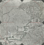
|
GS-VFKD_1-263
38.456817 -96.660868 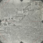
|
GS-VFKD_1-264
38.456267 -96.636098 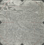
|
GS-VFKD_1-302
38.48954 -96.701819 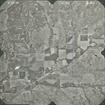
|
|
GS-VFKD_1-306
38.492572 -96.798725 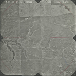
|