| Folder No. | County Name City |
Scanning | TSR | Quadrangle | Lat/Long | Project | Dates | Miscellaneous | Range of sheets | No. of sheets |
Cabinet | Notes |
|---|---|---|---|---|---|---|---|---|---|---|---|---|
|
Sheet 1, No. 316
View |
Chase
No city |
Scanned
(8 online) |
T 19-20 S., R 8-9 E. | Gladstone |
38.331865
-96.442817 |
Cottonwood Falls GS-VDBY | 11-4-1972 | Flights 1, 2, 3, and 4 EW 11000 | 9-13; 309-313; 237-242; 221-215 | 8 | 7 | Photographs seem to be missing |
Click on any thumbnail to view a larger photo.
|
GS-VDBY_1-215
38.278612 -96.354201 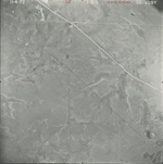
|
GS-VDBY_1-237
38.312653 -96.500073 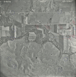
|
GS-VDBY_1-239
38.310833 -96.454741 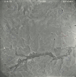
|
GS-VDBY_1-309
38.339787 -96.480353 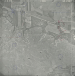
|
GS-VDBY_1-311
38.340889 -96.435864 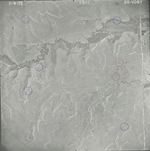
|
GS-VDBY_1-313
38.340614 -96.392218 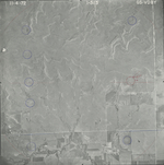
|
|
GS-VDBY_2-9
38.365875 -96.486546 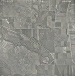
|
GS-VDBY_2-11
38.365655 -96.438543 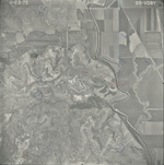
|