| Folder No. | County Name City |
Scanning | TSR | Quadrangle | Lat/Long | Project | Dates | Miscellaneous | Range of sheets | No. of sheets |
Cabinet | Notes |
|---|---|---|---|---|---|---|---|---|---|---|---|---|
|
Sheet 1, No. 318
View |
Chase
Elmdale |
Scanned
(15 online) |
T 18-19 S., R 6-7 E. | Lincolnville NE, Hymer |
38.42892
-96.729685 |
Emporia I.R. | 3-28-1978 and 3-27-1978 | Flights 1, 2, and 3 EW 19000 | 1-5; 45-41; 46-50 | 15 | 7 | See Cottonwood Falls N/2 index sheet |
Click on any thumbnail to view a larger photo.
|
GS-VENU_1-1
38.478937 -96.819609 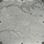
|
GS-VENU_1-2
38.47979 -96.779201 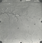
|
GS-VENU_1-3
38.480927 -96.739611 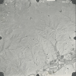
|
GS-VENU_1-4
38.48002 -96.701448 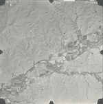
|
GS-VENU_1-5
38.482508 -96.657862 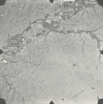
|
GS-VENU_1-41
38.428103 -96.63544 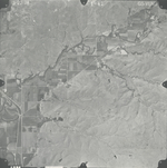
|
|
GS-VENU_1-42
38.428672 -96.675939 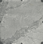
|
GS-VENU_1-43
38.427605 -96.716618 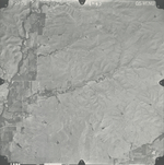
|
GS-VENU_1-44
38.428601 -96.751759 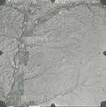
|
GS-VENU_1-45
38.427463 -96.793438 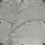
|
GS-VENU_1-46
38.378577 -96.820406 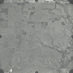
|
GS-VENU_1-47
38.379075 -96.775368 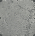
|
|
GS-VENU_1-48
38.378719 -96.73487 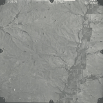
|
GS-VENU_1-49
38.377082 -96.693282 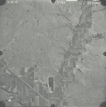
|
GS-VENU_1-50
38.377723 -96.650423 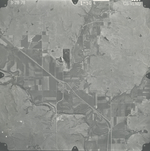
|