| Folder No. | County Name City |
Scanning | TSR | Quadrangle | Lat/Long | Project | Dates | Miscellaneous | Range of sheets | No. of sheets |
Cabinet | Notes |
|---|---|---|---|---|---|---|---|---|---|---|---|---|
|
Sheet 1, No. 320
View |
Chase
Matfield Green |
Scanned
(18 online) |
T. 21-22 S., R. 7-9 E. | Homestead, Mattfield Green, Thrall NW |
38.191895
-96.570072 |
GS-VDBY | 11-22-1972 | Flights 1, 2, 3, 4, and 5 EW 11000 | 63-61; 151-145; 86-87; 293-296; 69-65; 9-13 Odds including 2-86 and 1-150 | 18 | 7 |
Click on any thumbnail to view a larger photo.
|
GS-VDBY_1-9
38.129479 -96.612817 
|
GS-VDBY_1-11
38.129387 -96.568086 
|
GS-VDBY_1-13
38.130817 -96.522007 
|
GS-VDBY_1-65
38.161707 -96.514034 
|
GS-VDBY_1-67
38.162721 -96.55853 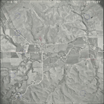
|
GS-VDBY_1-69
38.163459 -96.602265 
|
|
GS-VDBY_1-145
38.221628 -96.531086 
|
GS-VDBY_1-147
38.222754 -96.575398 
|
GS-VDBY_1-149
38.223969 -96.621258 
|
GS-VDBY_1-150
38.225005 -96.645449 
|
GS-VDBY_1-151
38.226041 -96.667519 
|
GS-VDBY_2-61
38.248624 -96.536167 
|
|
GS-VDBY_2-63
38.248534 -96.581511 
|
GS-VDBY_2-86
38.193991 -96.677281 
|
GS-VDBY_2-87
38.193417 -96.650743 
|
GS-VDBY_2-93
38.190962 -96.507868 
|
GS-VDBY_2-95
38.190557 -96.455646 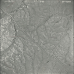
|
GS-VDBY_2-96
38.191052 -96.433633 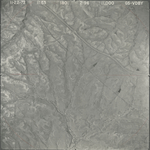
|