| Folder No. | County Name City |
Scanning | TSR | Quadrangle | Lat/Long | Project | Dates | Miscellaneous | Range of sheets | No. of sheets |
Cabinet | Notes |
|---|---|---|---|---|---|---|---|---|---|---|---|---|
|
Sheet 1, No. 322
View |
Chase
Saffordville |
Scanned
(9 online) |
T 18-19 S., R 8-9 E. | Saffordville |
38.42782
-96.434539 |
Emporia I.R. | 3-27-1978 and 3-28-1978 | Flights 1, 2, and 3 EW 19000 | 10-12; 37-35; 54-56 | 9 | 7 | See Cottonwood Falls N/2 index sheet and Saffordville N/2 |
Click on any thumbnail to view a larger photo.
|
GS-VENU_1-10
38.478384 -96.460414 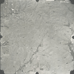
|
GS-VENU_1-11
38.478709 -96.423118 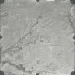
|
GS-VENU_1-12
38.478644 -96.378928 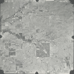
|
GS-VENU_1-35
38.427187 -96.397098 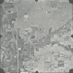
|
GS-VENU_1-36
38.428098 -96.435972 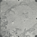
|
GS-VENU_1-37
38.428163 -96.475594 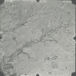
|
|
GS-VENU_1-54
38.376803 -96.486226 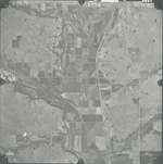
|
GS-VENU_1-55
38.377715 -96.447352 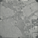
|
GS-VENU_1-56
38.376673 -96.406152 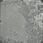
|