| Folder No. | County Name City |
Scanning | TSR | Quadrangle | Lat/Long | Project | Dates | Miscellaneous | Range of sheets | No. of sheets |
Cabinet | Notes |
|---|---|---|---|---|---|---|---|---|---|---|---|---|
|
Sheet 1, No. 326
View |
Greenwood
No city |
Scanned
(13 online) |
T 21-22 S., R 8-10 E. | Thrall NW and Shaw Creek |
38.217931
-96.412406 |
Cottonwood Falls GS-VDBY | 11-4-1972 and 11-22-1972 | Flights 1, 2, 3, 4, and 5 EW 11000 | 59-52; 143-139; 94-99; 64-59; 14-19 | 13 | 7 |
Click on any thumbnail to view a larger photo.
|
GS-VDBY_1-52
38.252037 -96.324283 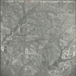
|
GS-VDBY_1-53
38.250578 -96.347107 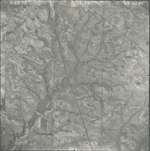
|
GS-VDBY_1-54
38.250653 -96.372553 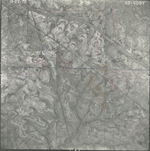
|
GS-VDBY_1-55
38.249306 -96.394806 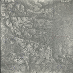
|
GS-VDBY_1-57
38.247041 -96.448269 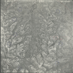
|
GS-VDBY_1-59
38.249211 -96.49206 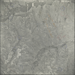
|
|
GS-VDBY_1-59_2
38.16058 -96.375913 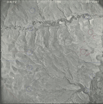
|
GS-VDBY_1-61
38.159639 -96.424664 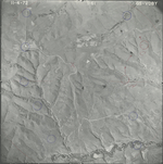
|
GS-VDBY_1-63
38.15992 -96.468162 
|
GS-VDBY_1-99
38.193524 -96.389434 
|
GS-VDBY_1-139
38.22112 -96.396735 
|
GS-VDBY_1-141
38.220887 -96.44155 
|
|
GS-VDBY_1-143
38.218609 -96.485741 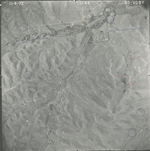
|