| Folder No. | County Name City |
Scanning | TSR | Quadrangle | Lat/Long | Project | Dates | Miscellaneous | Range of sheets | No. of sheets |
Cabinet | Notes |
|---|---|---|---|---|---|---|---|---|---|---|---|---|
|
Sheet 1, No. 327
View |
Chase
No city |
Scanned
(15 online) |
T 21-22 S., R 5-6 E. | Homestead, Wonsevu |
38.181529
-96.77293 |
Newton Revision GS-VFKD | 4-16-1986 | Flights 1, 2, 3, and 4 EW 12000 | 115-109; 102-108; 67-61; 54-60 | 15 | 7 |
Click on any thumbnail to view a larger photo.
|
GS-VFKD_1-54
38.132692 -96.857242 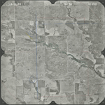
|
GS-VFKD_1-55
38.132568 -96.833116 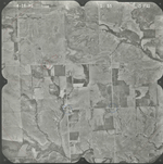
|
GS-VFKD_1-56
38.132072 -96.810173 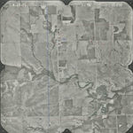
|
GS-VFKD_1-60
38.133143 -96.713963 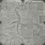
|
GS-VFKD_1-61
38.163978 -96.712584 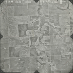
|
GS-VFKD_1-63
38.164846 -96.758155 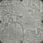
|
|
GS-VFKD_1-65
38.165961 -96.807195 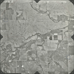
|
GS-VFKD_1-103
38.201098 -96.838305 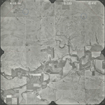
|
GS-VFKD_1-105
38.198744 -96.786033 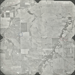
|
GS-VFKD_1-106
38.19924 -96.762932 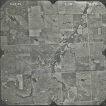
|
GS-VFKD_1-107
38.198062 -96.737151 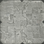
|
GS-VFKD_1-108
38.199425 -96.712631 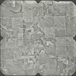
|
|
GS-VFKD_1-109
38.235824 -96.712733 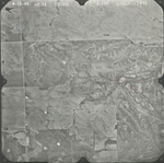
|
GS-VFKD_1-110
38.233037 -96.739697 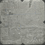
|
GS-VFKD_1-113
38.232239 -96.81204 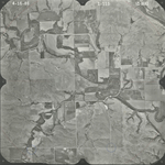
|