| Folder No. | County Name City |
Scanning | TSR | Quadrangle | Lat/Long | Project | Dates | Miscellaneous | Range of sheets | No. of sheets |
Cabinet | Notes |
|---|---|---|---|---|---|---|---|---|---|---|---|---|
|
Sheet 1, No. 344
View |
Chautauqua
Niotaze |
Scanned
(26 online) |
T. 31-35 S., R. 13 E. | Oak Valley, Hale, Peru |
37.147344
-96.023712 |
AH | 11-20-1936 and 3-2-1937 | AH-68-50 to AH-69-11 AH-18-15 to AH-18-23 | 26 | 7 | Folder 10-O Flight line P |
Click on any thumbnail to view a larger photo.
|
AH-18-15
37.314119 -96.032881 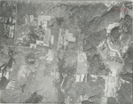
|
AH-18-16
37.300156 -96.033259 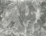
|
AH-18-17
37.287748 -96.033765 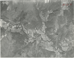
|
AH-18-18
37.275337 -96.033196 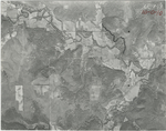
|
AH-18-19
37.260915 -96.033007 
|
AH-18-20
37.247645 -96.033196 
|
|
AH-18-21
37.23181 -96.033765 
|
AH-18-22
37.218585 -96.031996 
|
AH-18-23
37.208125 -96.03206 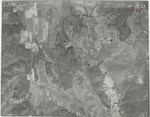
|
AH-68-50
37.206113 -96.019683 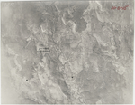
|
AH-68-51
37.190772 -96.019746 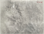
|
AH-68-52
37.178144 -96.01962 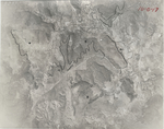
|
|
AH-68-53
37.162193 -96.01962 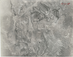
|
AH-68-54
37.15092 -96.020251 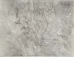
|
AH-68-55
37.137027 -96.018672 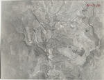
|
AH-69-1
37.107774 -96.016715 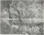
|
AH-69-2
37.09483 -96.018294 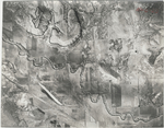
|
AH-69-3
37.080121 -96.015262 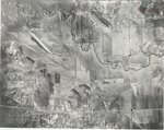
|
|
AH-69-4
37.06944 -96.017978 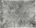
|
AH-69-5
37.054927 -96.017978 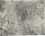
|
AH-69-6
37.043235 -96.018357 
|
AH-69-7
37.028717 -96.018609 
|
AH-69-8
37.014953 -96.019178 
|
AH-69-9
37.001187 -96.018736 
|
|
AH-69-10
36.988326 -96.019556 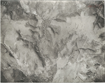
|
AH-69-11
36.977834 -96.021135 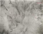
|