| Folder No. | County Name City |
Scanning | TSR | Quadrangle | Lat/Long | Project | Dates | Miscellaneous | Range of sheets | No. of sheets |
Cabinet | Notes |
|---|---|---|---|---|---|---|---|---|---|---|---|---|
|
Sheet 1, No. 383
View |
Cherokee
Columbus |
Scanned
(26 online) |
T. 32-33 S., R. 22-23 E. | Hallowell, Columbus |
37.186826
-94.906999 |
EW 9000 VDCQ | 2-9-1973 | Flights 1, 2, 3, 4, and 5 | 4-57 to 75, 2-69 to 78, 2-30 to 39, 1-226 to 234 | 26 | 8 | 1 Supp BK; 1 Beaman Alidade Book of Picture paint ties to existing control |
Click on any thumbnail to view a larger photo.
|
GS-VDCQ_1-227
37.134842 -94.971189 
|
GS-VDCQ_1-229
37.134644 -94.933761 
|
GS-VDCQ_1-233
37.134284 -94.860719 
|
GS-VDCQ_1-234
37.134232 -94.843342 
|
GS-VDCQ_2-31
37.161518 -94.980277 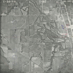
|
GS-VDCQ_2-33
37.161445 -94.94937 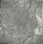
|
|
GS-VDCQ_2-35
37.160752 -94.908971 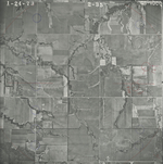
|
GS-VDCQ_2-37
37.158855 -94.877025 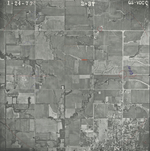
|
GS-VDCQ_2-38
37.15816 -94.854114 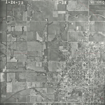
|
GS-VDCQ_2-39
37.158963 -94.836536 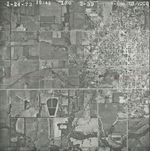
|
GS-VDCQ_2-69
37.216098 -95.00014 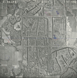
|
GS-VDCQ_2-71
37.216356 -94.962548 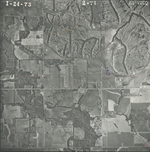
|
|
GS-VDCQ_2-73
37.214799 -94.926874 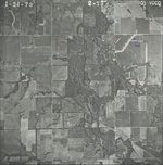
|
GS-VDCQ_2-75
37.214671 -94.890033 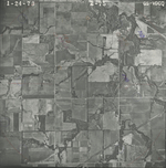
|
GS-VDCQ_2-77
37.213635 -94.854295 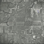
|
GS-VDCQ_2-78
37.212641 -94.83554 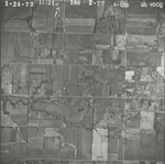
|
GS-VDCQ_4-57
37.187185 -94.98709 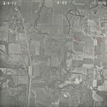
|
GS-VDCQ_4-59
37.186708 -94.951395 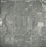
|
|
GS-VDCQ_4-61
37.187056 -94.914346 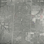
|
GS-VDCQ_4-64
37.187014 -94.859296 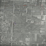
|
GS-VDCQ_4-65
37.18697 -94.841733 
|
GS-VDCQ_4-66
37.18779 -94.82314 
|
GS-VDCQ_4-67
37.238068 -94.849159 
|
GS-VDCQ_4-71
37.236478 -94.920748 
|
|
GS-VDCQ_4-73
37.236707 -94.956877 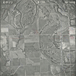
|
GS-VDCQ_4-75
37.237614 -94.993461 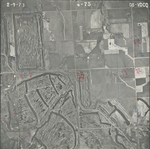
|