| Folder No. | County Name City |
Scanning | TSR | Quadrangle | Lat/Long | Project | Dates | Miscellaneous | Range of sheets | No. of sheets |
Cabinet | Notes |
|---|---|---|---|---|---|---|---|---|---|---|---|---|
|
Sheet 1, No. 393
View |
Cheyenne
No city |
Scanned
(25 online) |
T. 1-2 S., R. 37-38 W. | Henkle Canyon, McDonald NW |
39.943715
-101.537672 |
E-W 12000 VDRA | 10-3-1974 | Flights 1, 2, 3, and 4 | 1-2 to 8, 1-41 to 52, 1-85 to 90 | 25 | 8 |
Click on any thumbnail to view a larger photo.
|
GS-VDRA_1-2
39.99214 -101.46601 
|
GS-VDRA_1-3
39.992083 -101.489271 
|
GS-VDRA_1-4
39.994613 -101.516934 
|
GS-VDRA_1-5
39.994501 -101.543422 
|
GS-VDRA_1-6
39.99376 -101.569054 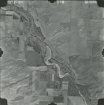
|
GS-VDRA_1-7
39.993929 -101.595323 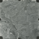
|
|
GS-VDRA_1-8
39.993648 -101.624747 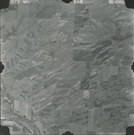
|
GS-VDRA_1-41
39.954736 -101.600606 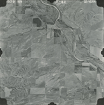
|
GS-VDRA_1-42
39.955524 -101.574264 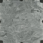
|
GS-VDRA_1-43
39.955355 -101.550123 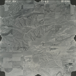
|
GS-VDRA_1-44
39.955524 -101.522607 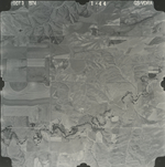
|
GS-VDRA_1-45
39.95513 -101.497733 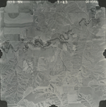
|
|
GS-VDRA_1-46
39.955524 -101.469189 
|
GS-VDRA_1-47
39.925031 -101.466621 
|
GS-VDRA_1-48
39.925369 -101.492009 
|
GS-VDRA_1-49
39.925594 -101.520846 
|
GS-VDRA_1-50
39.925594 -101.547408 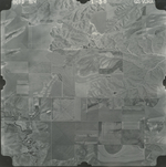
|
GS-VDRA_1-51
39.927057 -101.575071 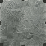
|
|
GS-VDRA_1-52
39.926551 -101.606036 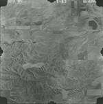
|
GS-VDRA_1-85
39.892161 -101.603981 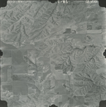
|
GS-VDRA_1-86
39.892386 -101.577199 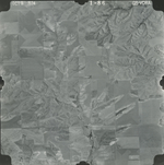
|
GS-VDRA_1-87
39.891373 -101.549316 
|
GS-VDRA_1-88
39.892049 -101.522607 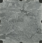
|
GS-VDRA_1-89
39.891767 -101.494357 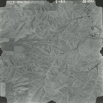
|
|
GS-VDRA_1-90
39.891486 -101.467061 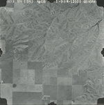
|