| Folder No. | County Name City |
Scanning | TSR | Quadrangle | Lat/Long | Project | Dates | Miscellaneous | Range of sheets | No. of sheets |
Cabinet | Notes |
|---|---|---|---|---|---|---|---|---|---|---|---|---|
|
Sheet 1, No. 394
View |
Cheyenne
No city |
Scanned
(19 online) |
T. 1-2 S., R. 38-39 W. | Heinzelman Canyon |
39.939851
-101.685424 |
E-W 12000 VDRA | 10-3-1974 | Flights 1, 2, 3, and 4 | 1-9 to 12, 1-36 to 40, 1-53 to 57, 1-80 to 84 | 19 | 8 |
Click on any thumbnail to view a larger photo.
|
GS-VDRA_1-9
39.993164 -101.651072 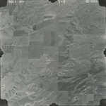
|
GS-VDRA_1-10
39.991918 -101.678444 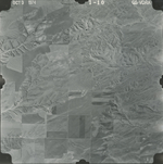
|
GS-VDRA_1-11
39.991814 -101.706901 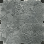
|
GS-VDRA_1-12
39.991918 -101.734476 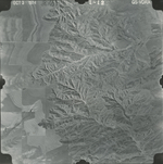
|
GS-VDRA_1-36
39.956768 -101.732376 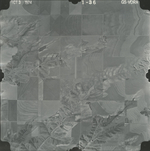
|
GS-VDRA_1-37
39.956612 -101.705613 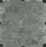
|
|
GS-VDRA_1-38
39.957754 -101.67919 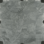
|
GS-VDRA_1-39
39.956664 -101.652698 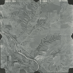
|
GS-VDRA_1-40
39.955937 -101.626681 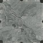
|
GS-VDRA_1-53
39.9263 -101.63005 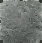
|
GS-VDRA_1-54
39.926404 -101.658032 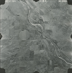
|
GS-VDRA_1-55
39.928431 -101.68554 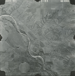
|
|
GS-VDRA_1-56
39.928534 -101.712573 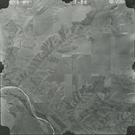
|
GS-VDRA_1-57
39.92869 -101.74252 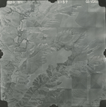
|
GS-VDRA_1-80
39.892608 -101.739892 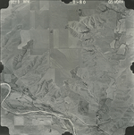
|
GS-VDRA_1-81
39.89266 -101.714349 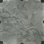
|
GS-VDRA_1-82
39.892971 -101.686909 
|
GS-VDRA_1-83
39.894219 -101.657437 
|
|
GS-VDRA_1-84
39.893803 -101.628303 
|