| Folder No. | County Name City |
Scanning | TSR | Quadrangle | Lat/Long | Project | Dates | Miscellaneous | Range of sheets | No. of sheets |
Cabinet | Notes |
|---|---|---|---|---|---|---|---|---|---|---|---|---|
|
Sheet 1, No. 395
View |
Cheyenne
Bird City |
Scanned
(12 online) |
T. 2-3 S., R. 37-38 W. | Bird City North, McDonald SW |
39.816335
-101.525782 |
EW 12000 VDRA | 10-3-1974 | Flights 1, 2, 3, and 4 | 1-91 to 97, 1-130 to 142, 1-174 to 179 | 12 | 8 | MF #122 |
Click on any thumbnail to view a larger photo.
|
GS-VDRA_1-91
39.858269 -101.466668 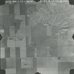
|
GS-VDRA_1-95
39.861104 -101.565019 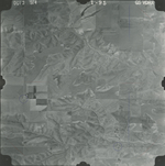
|
GS-VDRA_1-97
39.861937 -101.616578 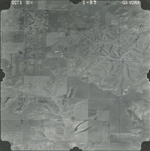
|
GS-VDRA_1-131
39.827689 -101.586309 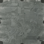
|
GS-VDRA_1-133
39.827355 -101.531781 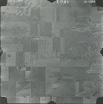
|
GS-VDRA_1-135
39.825353 -101.477036 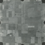
|
|
GS-VDRA_1-136
39.824852 -101.45046 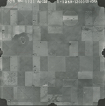
|
GS-VDRA_1-137
39.796483 -101.470953 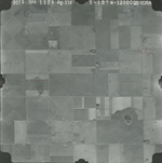
|
GS-VDRA_1-139
39.796539 -101.528957 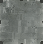
|
GS-VDRA_1-141
39.794536 -101.585223 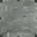
|
GS-VDRA_1-175
39.762313 -101.57045 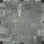
|
GS-VDRA_1-179
39.759586 -101.459946 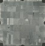
|