| Folder No. | County Name City |
Scanning | TSR | Quadrangle | Lat/Long | Project | Dates | Miscellaneous | Range of sheets | No. of sheets |
Cabinet | Notes |
|---|---|---|---|---|---|---|---|---|---|---|---|---|
|
Sheet 1, No. 396
View |
Cheyenne
Bird City |
Scanned
(26 online) |
T. 2-3 S., R. 37-38 W. | Bird City North, McDonald SW |
39.81343
-101.536356 |
EW 12000 VDRA | 10-3-1974 | Flights 1, 2, 3, and 4 | 1-91 to 97, 1-130 to 142, 1-174 to 179 | 26 | 8 |
Click on any thumbnail to view a larger photo.
|
GS-VDRA_1-91
39.858124 -101.466648 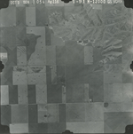
|
GS-VDRA_1-92
39.860014 -101.492542 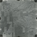
|
GS-VDRA_1-93
39.860441 -101.515894 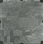
|
GS-VDRA_1-94
39.86105 -101.541152 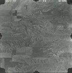
|
GS-VDRA_1-95
39.86166 -101.566172 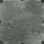
|
GS-VDRA_1-96
39.861965 -101.59278 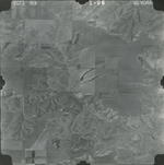
|
|
GS-VDRA_1-97
39.861782 -101.618039 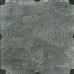
|
GS-VDRA_1-130
39.827649 -101.612807 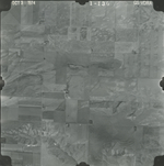
|
GS-VDRA_1-131
39.826308 -101.58587 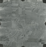
|
GS-VDRA_1-132
39.826669 -101.558531 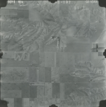
|
GS-VDRA_1-133
39.825998 -101.533341 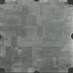
|
GS-VDRA_1-134
39.825534 -101.50412 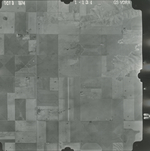
|
|
GS-VDRA_1-135
39.82347 -101.475975 
|
GS-VDRA_1-136
39.82409 -101.449442 
|
GS-VDRA_1-137
39.796122 -101.471273 
|
GS-VDRA_1-138
39.797774 -101.499351 
|
GS-VDRA_1-139
39.79798 -101.529579 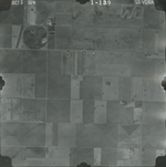
|
GS-VDRA_1-140
39.795812 -101.557187 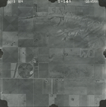
|
|
GS-VDRA_1-141
39.794987 -101.585064 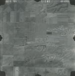
|
GS-VDRA_1-142
39.794471 -101.61368 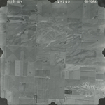
|
GS-VDRA_1-174
39.76247 -101.598715 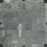
|
GS-VDRA_1-175
39.762263 -101.570503 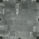
|
GS-VDRA_1-176
39.762211 -101.543365 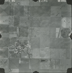
|
GS-VDRA_1-177
39.761437 -101.515622 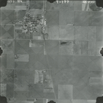
|
|
GS-VDRA_1-178
39.759888 -101.488753 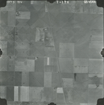
|
GS-VDRA_1-179
39.75901 -101.458861 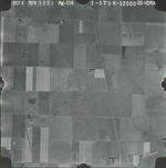
|