| Folder No. | County Name City |
Scanning | TSR | Quadrangle | Lat/Long | Project | Dates | Miscellaneous | Range of sheets | No. of sheets |
Cabinet | Notes |
|---|---|---|---|---|---|---|---|---|---|---|---|---|
|
Sheet 1, No. 406
View |
Cheyenne
Crosby Creek |
Scanned
(15 online) |
T. 4-5 S., R. 41-42 W. | Hale Ponds, Crosby Creek |
39.68639
-101.978078 |
EW 12000 VDRA | 3-10-1974 | Flights 1, 2, 3, 4 | 1-188 to 200, 1-225 to 238 | 15 | 8 | book #1 HL Springsteen |
Click on any thumbnail to view a larger photo.
|
GS-VDRA_1-189
39.738056 -101.924757 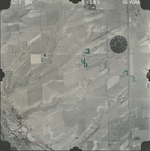
|
GS-VDRA_1-191
39.738318 -101.981578 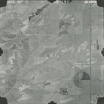
|
GS-VDRA_1-193
39.737428 -102.037514 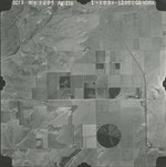
|
GS-VDRA_1-194
39.70744 -102.039457 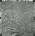
|
GS-VDRA_1-195
39.705553 -102.015815 
|
GS-VDRA_1-197
39.705134 -101.967306 
|
|
GS-VDRA_1-199
39.705239 -101.91212 
|
GS-VDRA_1-225
39.672829 -101.877712 
|
GS-VDRA_1-227
39.673458 -101.935896 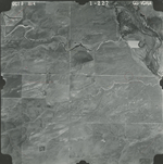
|
GS-VDRA_1-229
39.673773 -101.988629 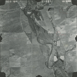
|
GS-VDRA_1-231
39.673744 -102.045126 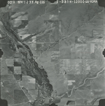
|
GS-VDRA_1-232
39.641693 -102.044719 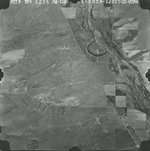
|
|
GS-VDRA_1-233
39.641693 -102.018965 
|
GS-VDRA_1-235
39.640539 -101.967527 
|
GS-VDRA_1-237
39.640959 -101.914044 
|