| Folder No. | County Name City |
Scanning | TSR | Quadrangle | Lat/Long | Project | Dates | Miscellaneous | Range of sheets | No. of sheets |
Cabinet | Notes |
|---|---|---|---|---|---|---|---|---|---|---|---|---|
|
Sheet 1, No. 412
View |
Cheyenne
No city |
Scanned
(9 online) |
T. 1-2 S., R. 38-39 W. | Heinzelman Canyon |
39.941483
-101.682159 |
EW 12000 VDRA | 10-3-1974 | Flights 1, 2, 3, 4 | 1-9 to 12, 1-36 to 40, 1-53 to 57, 1-80 to 84 | 9 | 8 | VDRA is underlined in red |
Click on any thumbnail to view a larger photo.
|
GS-VDRA_1-9
39.992583 -101.648871 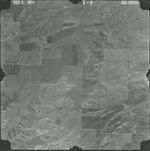
|
GS-VDRA_1-11
39.992418 -101.705554 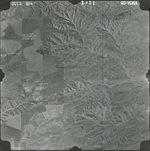
|
GS-VDRA_1-37
39.95791 -101.706417 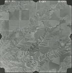
|
GS-VDRA_1-39
39.957359 -101.653403 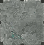
|
GS-VDRA_1-53
39.927844 -101.630153 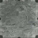
|
GS-VDRA_1-55
39.929444 -101.684103 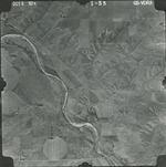
|
|
GS-VDRA_1-57
39.928782 -101.741073 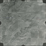
|
GS-VDRA_1-81
39.893668 -101.710898 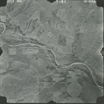
|
GS-VDRA_1-83
39.893337 -101.658963 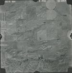
|