| Folder No. | County Name City |
Scanning | TSR | Quadrangle | Lat/Long | Project | Dates | Miscellaneous | Range of sheets | No. of sheets |
Cabinet | Notes |
|---|---|---|---|---|---|---|---|---|---|---|---|---|
|
Sheet 1, No. 420
View |
Cheyenne
No city |
Scanned
(12 online) |
T. 5-6 S., R. 41-42 W. | Bonny Reservoir SE, South of Crosby Creek |
39.560366
-101.978299 |
EW 12000 VDRA | 10-3-1974 | Flights 1, 2, 3, 4 | 1-254 to 267, 1-282 to 295 | 12 | 9 | Book #1 HL Springsteen (SAME) |
Click on any thumbnail to view a larger photo.
|
GS-VDRA_1-257
39.608115 -101.96777 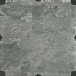
|
GS-VDRA_1-260
39.610466 -102.044779 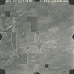
|
GS-VDRA_1-261
39.578084 -102.040736 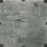
|
GS-VDRA_1-263
39.577193 -101.984598 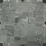
|
GS-VDRA_1-265
39.575527 -101.929599 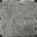
|
GS-VDRA_1-267
39.574795 -101.877959 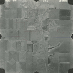
|
|
GS-VDRA_1-283
39.543063 -101.911437 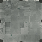
|
GS-VDRA_1-285
39.544668 -101.964558 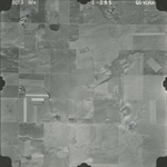
|
GS-VDRA_1-287
39.545111 -102.013659 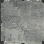
|
GS-VDRA_1-288
39.544779 -102.039717 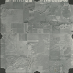
|
GS-VDRA_1-289
39.512721 -102.035122 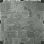
|
GS-VDRA_1-293
39.509868 -101.929648 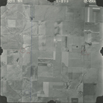
|