| Folder No. | County Name City |
Scanning | TSR | Quadrangle | Lat/Long | Project | Dates | Miscellaneous | Range of sheets | No. of sheets |
Cabinet | Notes |
|---|---|---|---|---|---|---|---|---|---|---|---|---|
|
Sheet 1, No. 424
View |
Cheyenne
No city |
Scanned
(11 online) |
T. 1-2 S., R. 41-42 W. | Willow Creek Ranch, St. Francis NW |
39.936471
-101.987888 |
EW 12000 VDRA | 10-3-1974 | Flights 1, 2, 3, 4 | 1-18 to 23, 1-24 to 30, 1-62 to 68, 1-69 to 74 | 11 | 9 | (SAME) |
Click on any thumbnail to view a larger photo.
|
GS-VDRA_1-23
39.989975 -102.039315 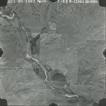
|
GS-VDRA_1-24
39.960191 -102.040437 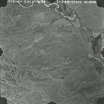
|
GS-VDRA_1-25
39.961435 -102.012374 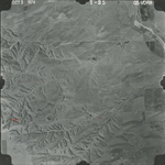
|
GS-VDRA_1-27
39.96154 -101.962225 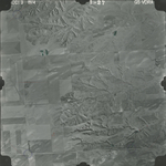
|
GS-VDRA_1-29
39.961959 -101.910366 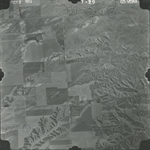
|
GS-VDRA_1-63
39.927219 -101.904987 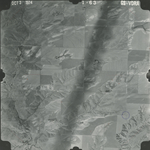
|
|
GS-VDRA_1-67
39.927903 -102.011742 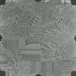
|
GS-VDRA_1-68
39.927483 -102.039177 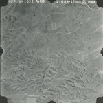
|
GS-VDRA_1-69
39.894003 -102.035619 
|
GS-VDRA_1-71
39.894423 -101.983555 
|
GS-VDRA_1-73
39.895052 -101.926975 
|