| Folder No. | County Name City |
Scanning | TSR | Quadrangle | Lat/Long | Project | Dates | Miscellaneous | Range of sheets | No. of sheets |
Cabinet | Notes |
|---|---|---|---|---|---|---|---|---|---|---|---|---|
|
Sheet 1, No. 426
View |
Cheyenne
No city |
Scanned
(12 online) |
T. 2-3 S., R. 41-42 W. | Armel, St. Francis SW |
39.810024
-101.966968 |
EW 12000 VDRA | 10-3-1974 | Flights 1, 2, 3, 4 | 1-107 to 112, 1-114 to 120, 1-152 to 157, 1-158 to 163 | 12 |
Click on any thumbnail to view a larger photo.
|
GS-VDRA_1-107
39.858758 -101.891714 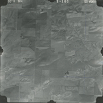
|
GS-VDRA_1-109
39.858012 -101.946385 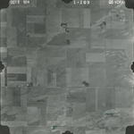
|
GS-VDRA_1-114
39.828784 -102.044432 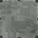
|
GS-VDRA_1-115
39.828742 -102.015341 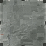
|
GS-VDRA_1-117
39.827968 -101.962611 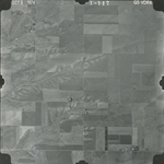
|
GS-VDRA_1-119
39.82673 -101.908875 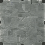
|
|
GS-VDRA_1-153
39.793321 -101.925196 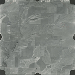
|
GS-VDRA_1-155
39.799155 -101.982367 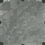
|
GS-VDRA_1-157
39.799671 -102.039865 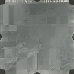
|
GS-VDRA_1-158
39.768671 -102.04503 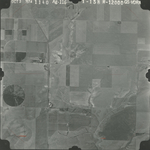
|
GS-VDRA_1-161
39.765677 -101.945886 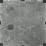
|
GS-VDRA_1-163
39.764799 -101.895911 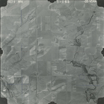
|