| Folder No. | County Name City |
Scanning | TSR | Quadrangle | Lat/Long | Project | Dates | Miscellaneous | Range of sheets | No. of sheets |
Cabinet | Notes |
|---|---|---|---|---|---|---|---|---|---|---|---|---|
|
Sheet 1, No. 428
View |
Cheyenne
St. Francis |
Scanned
(20 online) |
T. 2-3 S., R. 40-41 W. | St. Francis |
39.811181
-101.810441 |
EW 12000 VDRA | 10-3-1974 | Flights 1, 2, 3, 4 | 1-102 to 106, 1-121 to 125, 1-147 to 151, 1-164 to 168 | 20 | 9 |
Click on any thumbnail to view a larger photo.
|
GS-VDRA_1-102
39.859717 -101.753938 
|
GS-VDRA_1-103
39.859999 -101.782101 
|
GS-VDRA_1-104
39.859811 -101.808553 
|
GS-VDRA_1-105
39.859108 -101.835677 
|
GS-VDRA_1-106
39.858446 -101.864931 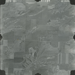
|
GS-VDRA_1-121
39.827285 -101.85729 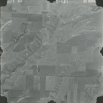
|
|
GS-VDRA_1-122
39.826536 -101.830794 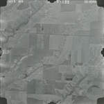
|
GS-VDRA_1-123
39.826536 -101.804673 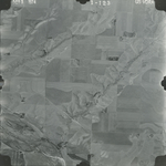
|
GS-VDRA_1-124
39.826882 -101.777576 
|
GS-VDRA_1-125
39.826997 -101.751229 
|
GS-VDRA_1-147
39.795054 -101.754382 
|
GS-VDRA_1-148
39.795227 -101.783581 
|
|
GS-VDRA_1-149
39.795458 -101.813004 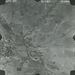
|
GS-VDRA_1-150
39.795227 -101.841302 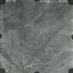
|
GS-VDRA_1-151
39.796265 -101.86915 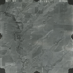
|
GS-VDRA_1-164
39.764193 -101.869375 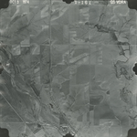
|
GS-VDRA_1-165
39.764135 -101.842953 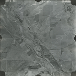
|
GS-VDRA_1-166
39.762289 -101.816307 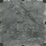
|
|
GS-VDRA_1-167
39.762404 -101.790561 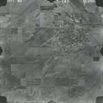
|
GS-VDRA_1-168
39.762058 -101.761438 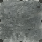
|