| Folder No. | County Name City |
Scanning | TSR | Quadrangle | Lat/Long | Project | Dates | Miscellaneous | Range of sheets | No. of sheets |
Cabinet | Notes |
|---|---|---|---|---|---|---|---|---|---|---|---|---|
|
Sheet 1, No. 429
View |
Cheyenne
|
Scanned
(27 online) |
T. 4-5 S., R. 41-42 W. | Hale Ponds, Crosby Creek |
39.687735
-101.96497 |
EW 12000 VDRA | 10-3-1974 | Flights 1, 2, 3, 4 | 1-188 to 193, 1-194 to 200, 1-225 to 231, 1-232 to 238 | 27 | 9 |
Click on any thumbnail to view a larger photo.
|
GS-VDRA_1-188
39.739412 -101.90132 
|
GS-VDRA_1-189
39.738084 -101.925084 
|
GS-VDRA_1-190
39.737768 -101.953863 
|
GS-VDRA_1-191
39.738021 -101.980258 
|
GS-VDRA_1-192
39.738021 -102.009695 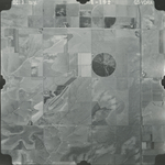
|
GS-VDRA_1-193
39.737831 -102.038145 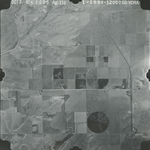
|
|
GS-VDRA_1-194
39.708043 -102.037076 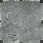
|
GS-VDRA_1-195
39.705576 -102.016848 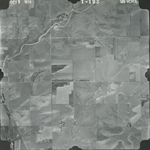
|
GS-VDRA_1-196
39.705956 -101.990125 
|
GS-VDRA_1-197
39.705766 -101.964553 
|
GS-VDRA_1-198
39.704754 -101.93824 
|
GS-VDRA_1-199
39.705133 -101.911352 
|
|
GS-VDRA_1-200
39.704501 -101.886849 
|
GS-VDRA_1-225
39.673433 -101.87953 
|
GS-VDRA_1-226
39.674002 -101.906994 
|
GS-VDRA_1-227
39.674382 -101.934869 
|
GS-VDRA_1-228
39.673749 -101.961181 
|
GS-VDRA_1-229
39.673623 -101.988069 
|
|
GS-VDRA_1-230
39.674066 -102.01652 
|
GS-VDRA_1-231
39.672926 -102.045545 
|
GS-VDRA_1-232
39.639945 -102.04497 
|
GS-VDRA_1-233
39.640325 -102.019809 
|
GS-VDRA_1-234
39.640515 -101.994072 
|
GS-VDRA_1-235
39.640578 -101.965621 
|
|
GS-VDRA_1-236
39.640894 -101.939885 
|
GS-VDRA_1-237
39.641464 -101.914723 
|
GS-VDRA_1-238
39.640071 -101.888986 
|