| Folder No. | County Name City |
Scanning | TSR | Quadrangle | Lat/Long | Project | Dates | Miscellaneous | Range of sheets | No. of sheets |
Cabinet | Notes |
|---|---|---|---|---|---|---|---|---|---|---|---|---|
|
Sheet 1, No. 456
View |
Clark
No city |
Scanned
(17 online) |
T. 33-35 S., R. 22-23 W. | Ashland SE, Sitka SW |
37.079311
-99.741609 |
Ashland | 3-29-1971 | 1-267, 269, 58 to 55, 53, 111, 113 to 115, 123, 121, 119, 118-116 | 17 | 9 | Same as above |
Click on any thumbnail to view a larger photo.
|
GS-VCPJ_1-53
37.035642 -99.768852 
|
GS-VCPJ_1-55
37.034398 -99.728149 
|
GS-VCPJ_1-56
37.034541 -99.70543 
|
GS-VCPJ_1-57
37.064587 -99.696378 
|
GS-VCPJ_1-58
37.064013 -99.712803 
|
GS-VCPJ_1-111
37.093557 -99.790927 
|
|
GS-VCPJ_1-113
37.093416 -99.749342 
|
GS-VCPJ_1-114
37.092292 -99.728901 
|
GS-VCPJ_1-115
37.091401 -99.706581 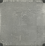
|
GS-VCPJ_1-116
37.121381 -99.671985 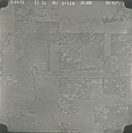
|
GS-VCPJ_1-117
37.121194 -99.694364 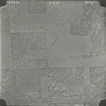
|
GS-VCPJ_1-118
37.12096 -99.715216 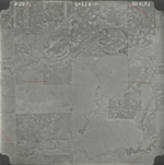
|
|
GS-VCPJ_1-119
37.121147 -99.734951 
|
GS-VCPJ_1-121
37.122318 -99.777359 
|
GS-VCPJ_1-123
37.122406 -99.821412 
|
GS-VCPJ_1-267
37.007196 -99.781123 
|
GS-VCPJ_1-269
37.00784 -99.823582 
|