| Folder No. | County Name City |
Scanning | TSR | Quadrangle | Lat/Long | Project | Dates | Miscellaneous | Range of sheets | No. of sheets |
Cabinet | Notes |
|---|---|---|---|---|---|---|---|---|---|---|---|---|
|
Sheet 1, No. 460
View |
Clark
No city |
Scanned
(7 online) |
T. 33-35 S., R. 24 W. | Englewood, Ashland NW |
37.075841
-99.930386 |
Ashland | 3-29-1971, 3-30-1971 | 1-275, 45, 47, 103, 105, 127, 129 | 7 | 10 | Same as above |
Click on any thumbnail to view a larger photo.
|
GS-VDCI_1-45
37.038092 -99.944626 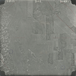
|
GS-VDCI_1-47
37.038635 -99.900969 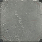
|
GS-VDCI_1-103
37.096645 -99.96154 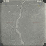
|
GS-VDCI_1-105
37.096444 -99.917368 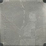
|
GS-VDCI_1-127
37.126275 -99.885001 
|
GS-VDCI_1-129
37.124687 -99.945993 
|
|
GS-VDCI_1-275
37.010106 -99.957204 
|