| Folder No. | County Name City |
Scanning | TSR | Quadrangle | Lat/Long | Project | Dates | Miscellaneous | Range of sheets | No. of sheets |
Cabinet | Notes |
|---|---|---|---|---|---|---|---|---|---|---|---|---|
|
Sheet 1, No. 462
View |
Clark, Comanche
No city |
Scanned
(8 online) |
T. 31-32 S., R. 20-21 W. | Lexington |
37.313078
-99.56647 |
GS-VDCI | 4-9-1974 | 1-159, 157, 195, 197; 2-53, 55, 15, 17 | 8 | 10 | Same as above |
Click on any thumbnail to view a larger photo.
|
GS-VDCI_1-157
37.361924 -99.587392 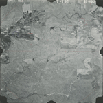
|
GS-VDCI_1-159
37.362128 -99.534716 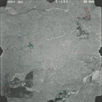
|
GS-VDCI_1-195
37.332253 -99.546022 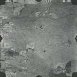
|
GS-VDCI_1-197
37.33256 -99.59857 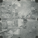
|
GS-VDCI_2-15
37.293691 -99.587752 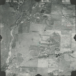
|
GS-VDCI_2-17
37.294007 -99.536274 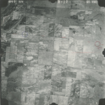
|
|
GS-VDCI_2-53
37.265128 -99.544466 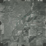
|
GS-VDCI_2-55
37.26293 -99.596564 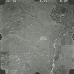
|