| Folder No. | County Name City |
Scanning | TSR | Quadrangle | Lat/Long | Project | Dates | Miscellaneous | Range of sheets | No. of sheets |
Cabinet | Notes |
|---|---|---|---|---|---|---|---|---|---|---|---|---|
|
Sheet 1, No. 466
View |
Clark
No city |
Scanned
(10 online) |
T. 30 S., R. 21-22 W. | Mount Jesus NW |
37.434756
-99.68571 |
GS-VDCI | 4-9-1974 | 1-13, 15, 59, 61, 63, 79, 81, 127, 129, 131 | 10 | 10 | Same as above |
Click on any thumbnail to view a larger photo.
|
GS-VDCI_1-13
37.482129 -99.687677 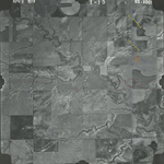
|
GS-VDCI_1-15
37.482354 -99.634758 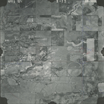
|
GS-VDCI_1-59
37.454299 -99.646737 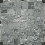
|
GS-VDCI_1-61
37.454097 -99.69635 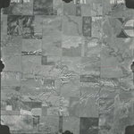
|
GS-VDCI_1-63
37.454197 -99.74719 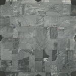
|
GS-VDCI_1-79
37.422098 -99.716994 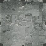
|
|
GS-VDCI_1-81
37.421165 -99.666862 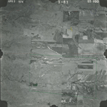
|
GS-VDCI_1-127
37.391801 -99.642061 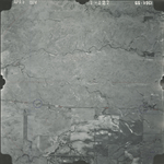
|
GS-VDCI_1-129
37.392595 -99.684082 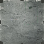
|
GS-VDCI_1-131
37.392829 -99.73439 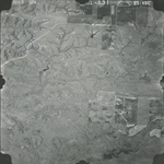
|