| Folder No. | County Name City |
Scanning | TSR | Quadrangle | Lat/Long | Project | Dates | Miscellaneous | Range of sheets | No. of sheets |
Cabinet | Notes |
|---|---|---|---|---|---|---|---|---|---|---|---|---|
|
Sheet 1, No. 467
View |
Clark
Proffitt Lake |
Scanned
(6 online) |
T. 32-33 S., R. 25-26 W. | Profitt Lake |
37.191527
-100.062883 |
GS-VCPJ | 3-29-1971 | 1-159, 157, 195, 193, 251, 215 | 6 | 10 | Same as above |
Click on any thumbnail to view a larger photo.
|
GS-VCPJ_1-157
37.157338 -100.084355 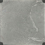
|
GS-VCPJ_1-159
37.158439 -100.041965 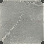
|
GS-VCPJ_1-193
37.186264 -100.031754 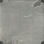
|
GS-VCPJ_1-195
37.186054 -100.071511 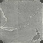
|
GS-VCPJ_1-215
37.21534 -100.098885 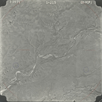
|
GS-VCPJ_1-251
37.245724 -100.048826 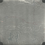
|