37.043293
-99.790341
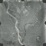
37.043072
-99.76091
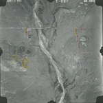
37.011289
-99.768479
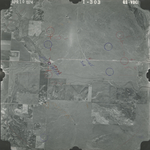
37.008996
-99.797082
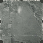
37.107901
-99.789819
37.072132
-99.639975
37.075047
-99.777166
37.075673
-99.801764
| Folder No. | County Name City |
Scanning | TSR | Quadrangle | Lat/Long | Project | Dates | Miscellaneous | Range of sheets | No. of sheets |
Cabinet | Notes |
|---|---|---|---|---|---|---|---|---|---|---|---|---|
|
Sheet 1, No. 468
View |
Clark
No city |
Scanned
(8 online) |
T. 34 S., R. 21-23 W. | Ashland SE, Sitka SW |
37.054675
-99.765692 |
GS-VDCI | 4-9-1974 | 1-228, 229, 304, 303; 2-206, 263, 268, 269 | 8 | 10 |
Click on any thumbnail to view a larger photo.