| Folder No. | County Name City |
Scanning | TSR | Quadrangle | Lat/Long | Project | Dates | Miscellaneous | Range of sheets | No. of sheets |
Cabinet | Notes |
|---|---|---|---|---|---|---|---|---|---|---|---|---|
|
Sheet 1, No. 469
View |
Clark
Cimarron River |
Scanned
(3 online) |
T. 34 S., R. 20-22 W. | Sitka SW, Trout Creek |
37.060594
-99.620079 |
GS-VDCI | 2-6-1970 | 1-198 to 200 | 3 | 10 | Same as above |
Click on any thumbnail to view a larger photo.
|
GS-VDCI-S_1-198
37.060892 -99.539486 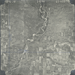
|
GS-VDCI-S_1-199
37.060382 -99.632872 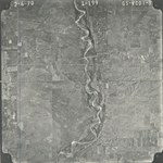
|
GS-VDCI-S_1-200
37.060509 -99.687879 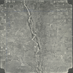
|