| Folder No. | County Name City |
Scanning | TSR | Quadrangle | Lat/Long | Project | Dates | Miscellaneous | Range of sheets | No. of sheets |
Cabinet | Notes |
|---|---|---|---|---|---|---|---|---|---|---|---|---|
|
Sheet 1, No. 470
View |
Clark
No city |
Scanned
(3 online) |
T. 34-35., R. 20-21 W. | Trout Creek, Protection SW |
37.039814
-99.535712 |
GS-VDCI | 4-9-1974 | 1-295, 293, 2-215 | 3 | 10 | Same as above |
Click on any thumbnail to view a larger photo.
|
GS-VDCI_1-293
37.007033 -99.496462 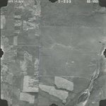
|
GS-VDCI_1-295
37.006737 -99.553954 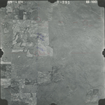
|
GS-VDCI_2-215
37.105671 -99.556721 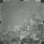
|