| Folder No. | County Name City |
Scanning | TSR | Quadrangle | Lat/Long | Project | Dates | Miscellaneous | Range of sheets | No. of sheets |
Cabinet | Notes |
|---|---|---|---|---|---|---|---|---|---|---|---|---|
|
Sheet 1, No. 473
View |
Clay
Vining, Longford |
Scanned
(32 online) |
T. 5-11 S., R. 1 E. | Clifton, Miltonvale NE, Idana, Longford, Manchester |
39.344782
-97.313205 |
AIE | 7-30-1952 | Flight 14-2 (N-S) | 6H-165 to 6H-196 | 32 | 10 |
Click on any thumbnail to view a larger photo.
|
AIE-6H-165
39.569188 -97.311756 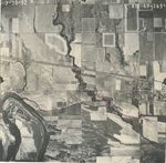
|
AIE-6H-166
39.55464 -97.310726 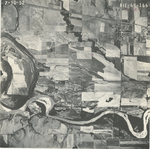
|
AIE-6H-167
39.540793 -97.310383 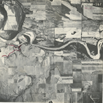
|
AIE-6H-168
39.525709 -97.311355 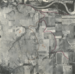
|
AIE-6H-169
39.511063 -97.311127 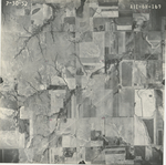
|
AIE-6H-170
39.497032 -97.312385 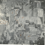
|
|
AIE-6H-171
39.482335 -97.312728 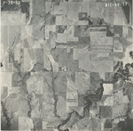
|
AIE-6H-172
39.46768 -97.312842 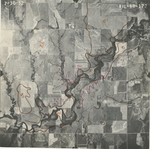
|
AIE-6H-173
39.452978 -97.311927 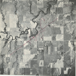
|
AIE-6H-174
39.438979 -97.312842 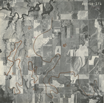
|
AIE-6H-175
39.424712 -97.312842 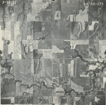
|
AIE-6H-176
39.41 -97.312899 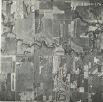
|
|
AIE-6H-177
39.395065 -97.312899 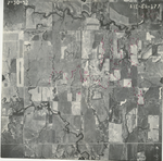
|
AIE-6H-178
39.38154 -97.312499 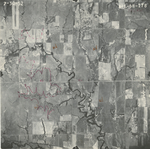
|
AIE-6H-179
39.365758 -97.30964 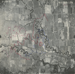
|
AIE-6H-180
39.351521 -97.311527 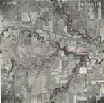
|
AIE-6H-181
39.33728 -97.312728 
|
AIE-6H-182
39.322683 -97.313757 
|
|
AIE-6H-183
39.308437 -97.314158 
|
AIE-6H-184
39.295028 -97.314501 
|
AIE-6H-185
39.280289 -97.3141 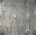
|
AIE-6H-186
39.265724 -97.314043 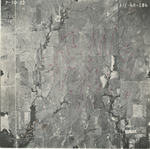
|
AIE-6H-187
39.251555 -97.313185 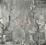
|
AIE-6H-188
39.236497 -97.315416 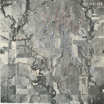
|
|
AIE-6H-189
39.221701 -97.314615 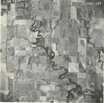
|
AIE-6H-190
39.207213 -97.315015 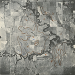
|
AIE-6H-191
39.193164 -97.315987 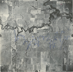
|
AIE-6H-192
39.178005 -97.315244 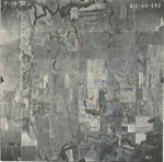
|
AIE-6H-193
39.163729 -97.313929 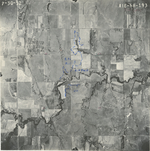
|
AIE-6H-194
39.148741 -97.314729 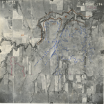
|
|
AIE-6H-195
39.133616 -97.315358 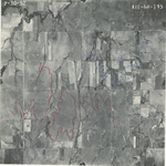
|
AIE-6H-196
39.120352 -97.315416 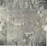
|