| Folder No. | County Name City |
Scanning | TSR | Quadrangle | Lat/Long | Project | Dates | Miscellaneous | Range of sheets | No. of sheets |
Cabinet | Notes |
|---|---|---|---|---|---|---|---|---|---|---|---|---|
|
Sheet 1, No. 476
View |
Clay
Morganville |
Scanned
(32 online) |
T. 5-11 S., R. 2 E. | Linn SW, Clay Center NW, Clay Center SW, Industry |
39.35172
-97.202087 |
YV | 7-27-1952 | Flight 14-5 | 5H-91 to 5H-102, 3H-166 to 3H-147 | 32 | 10 |
Click on any thumbnail to view a larger photo.
|
AIE-3H-147
39.131512 -97.206835 
|
AIE-3H-148
39.145344 -97.2041 
|
AIE-3H-149
39.159773 -97.206121 
|
AIE-3H-150
39.174705 -97.20416 
|
AIE-3H-151
39.189359 -97.202673 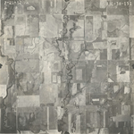
|
AIE-3H-152
39.204009 -97.203803 
|
|
AIE-3H-153
39.218057 -97.204635 
|
AIE-3H-154
39.231366 -97.203506 
|
AIE-3H-155
39.246744 -97.203684 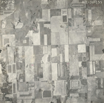
|
AIE-3H-156
39.261842 -97.203565 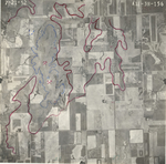
|
AIE-3H-157
39.275833 -97.203862 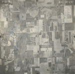
|
AIE-3H-158
39.290833 -97.203743 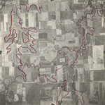
|
|
AIE-3H-159
39.304956 -97.202436 
|
AIE-3H-160
39.319766 -97.201603 
|
AIE-3H-161
39.334158 -97.202495 
|
AIE-3H-162
39.3491 -97.202138 
|
AIE-3H-163
39.363533 -97.201366 
|
AIE-3H-164
39.378514 -97.202436 
|
|
AIE-3H-165
39.391976 -97.200712 
|
AIE-3H-166
39.405987 -97.199879 
|
AIE-5H-92
39.554397 -97.199178 
|
AIE-5H-93
39.540599 -97.198464 
|
AIE-5H-94
39.526662 -97.198881 
|
AIE-5H-95
39.51185 -97.198048 
|
|
AIE-5H-96
39.497127 -97.199891 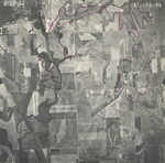
|
AIE-5H-97
39.482492 -97.201437 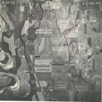
|
AIE-5H-98
39.467212 -97.202863 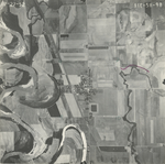
|
AIE-5H-99
39.453305 -97.202566 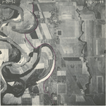
|
AIE-5H-100
39.439121 -97.201734 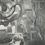
|
AIE-5H-101
39.425484 -97.200367 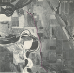
|
|
AIE-5H-102
39.410559 -97.200961 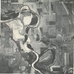
|
YV-5H-91
39.568879 -97.198643 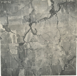
|