| Folder No. | County Name City |
Scanning | TSR | Quadrangle | Lat/Long | Project | Dates | Miscellaneous | Range of sheets | No. of sheets |
Cabinet | Notes |
|---|---|---|---|---|---|---|---|---|---|---|---|---|
|
Sheet 1, No. 527
View |
Coffey
Lebo, Jacobs Creek Landing, Gridley |
Scanned
(32 online) |
T. 18-23 S., R. 14 E. | Lebo NW, Hartford, Gridley NW, Gridley |
38.236539
-95.87561 |
ZP | 8-2-1944 | Flight 4 20000 | 8B-1 to 8B-31 | 32 | 11 | Missing: 2P-8B-28; Labeled 16-D, 16-04, 27 |
Click on any thumbnail to view a larger photo.
|
ZP-8B-42
38.00757 -95.876623 
|
ZP-8B-43
38.022054 -95.876755 
|
ZP-8B-44
38.034753 -95.876424 
|
ZP-8B-45
38.050193 -95.874881 
|
ZP-8B-46
38.064689 -95.874014 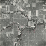
|
ZP-8B-47
38.081136 -95.87515 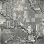
|
|
ZP-8B-48
38.093811 -95.871779 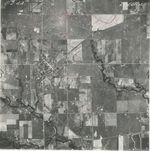
|
ZP-8B-49
38.109144 -95.873116 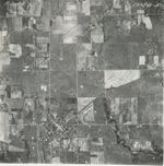
|
ZP-8B-50
38.124148 -95.873045 
|
ZP-8B-51
38.140785 -95.873468 
|
ZP-8B-52
38.154519 -95.875121 
|
ZP-8B-53
38.170617 -95.875782 
|
|
ZP-8B-54
38.184981 -95.875717 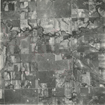
|
ZP-8B-55
38.199587 -95.87552 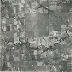
|
ZP-8B-56
38.214204 -95.875852 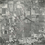
|
ZP-8B-57
38.229899 -95.875384 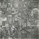
|
ZP-8B-58
38.24507 -95.874915 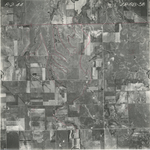
|
ZP-8B-59
38.259616 -95.876465 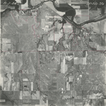
|
|
ZP-8B-60
38.274174 -95.876649 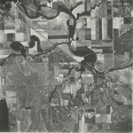
|
ZP-8B-61
38.288819 -95.875978 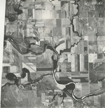
|
ZP-8B-62
38.304301 -95.87638 
|
ZP-8B-63
38.318702 -95.876379 
|
ZP-8B-64
38.333674 -95.876312 
|
ZP-8B-65
38.349279 -95.876244 
|
|
ZP-8B-66
38.363573 -95.876378 
|
ZP-8B-67
38.37734 -95.876244 
|
ZP-8B-68
38.393262 -95.876244 
|
ZP-8B-69
38.407069 -95.876379 
|
ZP-8B-70
38.420771 -95.876378 
|
ZP-8B-71
38.436519 -95.877048 
|
|
ZP-8B-72
38.450349 -95.876511 
|
ZP-8B-73
38.464653 -95.876376 
|