| Folder No. | County Name City |
Scanning | TSR | Quadrangle | Lat/Long | Project | Dates | Miscellaneous | Range of sheets | No. of sheets |
Cabinet | Notes |
|---|---|---|---|---|---|---|---|---|---|---|---|---|
|
Sheet 1, No. 536
View |
Coffey, Woodson
LeRoy |
Scanned
(33 online) |
T. 18-23 S., R. 16 E. | Waverly NW, New Strawn, Burlington, Le Roy |
38.228047
-95.659107 |
ZP | 9-2-1944 and 7-13-1944 | Flight 9 20000 | 9B-47 to 9B-61; 2B-11 to 2B-28 | 33 | 11 | Labeled 16-I and 16-09 |
Click on any thumbnail to view a larger photo.
|
ZP-2B-11
38.241734 -95.661455 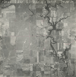
|
ZP-2B-12
38.226769 -95.660177 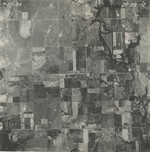
|
ZP-2B-13
38.21381 -95.660561 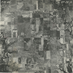
|
ZP-2B-14
38.202205 -95.660688 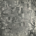
|
ZP-2B-15
38.187681 -95.660563 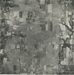
|
ZP-2B-16
38.174064 -95.660047 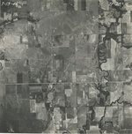
|
|
ZP-2B-17
38.160775 -95.659339 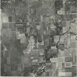
|
ZP-2B-18
38.147868 -95.660558 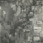
|
ZP-2B-19
38.134306 -95.660686 
|
ZP-2B-20
38.121096 -95.659918 
|
ZP-2B-21
38.107534 -95.659598 
|
ZP-2B-22
38.094726 -95.659982 
|
|
ZP-2B-23
38.081844 -95.661309 
|
ZP-2B-24
38.067868 -95.662592 
|
ZP-2B-25
38.053547 -95.662463 
|
ZP-2B-26
38.040044 -95.659781 
|
ZP-2B-27
38.024995 -95.659844 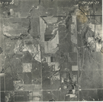
|
ZP-2B-28
38.012141 -95.659781 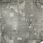
|
|
ZP-9B-47
38.459798 -95.658333 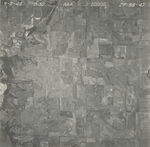
|
ZP-9B-48
38.443782 -95.65754 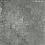
|
ZP-9B-49
38.427928 -95.656571 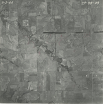
|
ZP-9B-50
38.410786 -95.657422 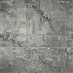
|
ZP-9B-51
38.394989 -95.657002 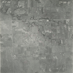
|
ZP-9B-52
38.377372 -95.656642 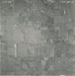
|
|
ZP-9B-53
38.363892 -95.656826 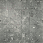
|
ZP-9B-54
38.34847 -95.657488 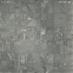
|
ZP-9B-55
38.332963 -95.656343 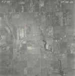
|
ZP-9B-56
38.317683 -95.656766 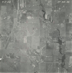
|
ZP-9B-57
38.301998 -95.655254 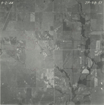
|
ZP-9B-58
38.28591 -95.655798 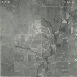
|
|
ZP-9B-59
38.269992 -95.657652 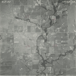
|
ZP-9B-60
38.255257 -95.660084 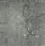
|
ZP-9B-61
38.241734 -95.661455 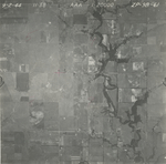
|