| Folder No. | County Name City |
Scanning | TSR | Quadrangle | Lat/Long | Project | Dates | Miscellaneous | Range of sheets | No. of sheets |
Cabinet | Notes |
|---|---|---|---|---|---|---|---|---|---|---|---|---|
|
Sheet 1, No. 538
View |
Coffey
Waverly, Le Roy |
Scanned
(31 online) |
T. 18-23 S., R. 16 E. | Waverly, Waverly SE, Aliceville, Neosho Falls |
38.227682
-95.618607 |
ZP | 9-2-1944 and 7-13-1944 | Flights 10 20000 | 9B-44 to 9B-27; 2B-48 to 2B-36 | 31 | 11 | Labeled 16-J and 16-10 |
Click on any thumbnail to view a larger photo.
|
ZP-2B-36
38.013328 -95.619142 
|
ZP-2B-37
38.02718 -95.619068 
|
ZP-2B-38
38.038699 -95.618877 
|
ZP-2B-39
38.056312 -95.619061 
|
ZP-2B-40
38.071028 -95.618938 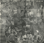
|
ZP-2B-41
38.084929 -95.618755 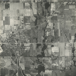
|
|
ZP-2B-42
38.099164 -95.617044 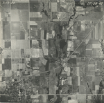
|
ZP-2B-43
38.114688 -95.616862 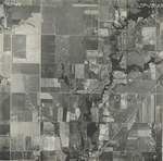
|
ZP-2B-44
38.128519 -95.61845 
|
ZP-2B-45
38.143972 -95.617229 
|
ZP-2B-46
38.155442 -95.617717 
|
ZP-2B-47
38.171279 -95.618389 
|
|
ZP-2B-48
38.191332 -95.619426 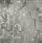
|
ZP-9B-27
38.184068 -95.620808 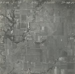
|
ZP-9B-28
38.198698 -95.619431 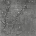
|
ZP-9B-29
38.214497 -95.619959 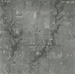
|
ZP-9B-30
38.229916 -95.618913 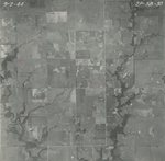
|
ZP-9B-31
38.244259 -95.619761 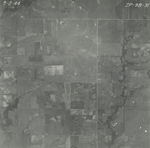
|
|
ZP-9B-32
38.261839 -95.617996 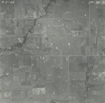
|
ZP-9B-33
38.278528 -95.618258 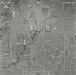
|
ZP-9B-34
38.295777 -95.618455 
|
ZP-9B-35
38.31216 -95.61852 
|
ZP-9B-36
38.327694 -95.616618 
|
ZP-9B-37
38.343372 -95.618061 
|
|
ZP-9B-38
38.360037 -95.618781 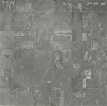
|
ZP-9B-39
38.377499 -95.619042 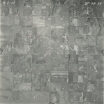
|
ZP-9B-40
38.393015 -95.618845 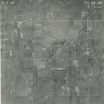
|
ZP-9B-41
38.410407 -95.618639 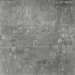
|
ZP-9B-42
38.426936 -95.618505 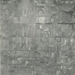
|
ZP-9B-43
38.443692 -95.618441 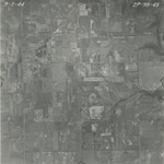
|
|
ZP-9B-44
38.459878 -95.618817 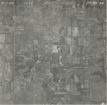
|