| Folder No. | County Name City |
Scanning | TSR | Quadrangle | Lat/Long | Project | Dates | Miscellaneous | Range of sheets | No. of sheets |
Cabinet | Notes |
|---|---|---|---|---|---|---|---|---|---|---|---|---|
|
Sheet 1, No. 549
View |
Coffey
Le Roy |
Scanned
(10 online) |
T. 22-23 S., R. 15-16 E. | Le Roy |
38.070603
-95.690288 |
GS-VENU | 4-12-1978 | Flights 1, 2, 3 EW 19,000 | 2-154 to 156, 2-171 to 168, 2-189 to 191 | 10 | 11 | See Gridley Index Sheet |
Click on any thumbnail to view a larger photo.
|
GS-VENU-2-154
38.119802 -95.744158 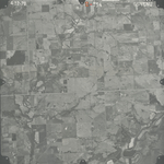
|
GS-VENU-2-155
38.120365 -95.702404 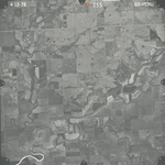
|
GS-VENU-2-156
38.120932 -95.66513 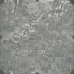
|
GS-VENU-2-168
38.069427 -95.625553 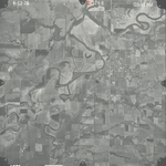
|
GS-VENU-2-169
38.069831 -95.669916 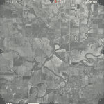
|
GS-VENU-2-170
38.069348 -95.710162 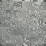
|
|
GS-VENU-2-171
38.06911 -95.751099 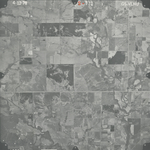
|
GS-VENU-2-189
38.022046 -95.718507 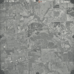
|
GS-VENU-2-190
38.023805 -95.678235 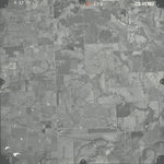
|
GS-VENU-2-191
38.021365 -95.637719 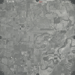
|