| Folder No. | County Name City |
Scanning | TSR | Quadrangle | Lat/Long | Project | Dates | Miscellaneous | Range of sheets | No. of sheets |
Cabinet | Notes |
|---|---|---|---|---|---|---|---|---|---|---|---|---|
|
Sheet 1, No. 557
View |
Coffey
Burlington, Westphalia |
Scanned
(20 online) |
T. 21 S., R. 13-17 E. | Gridley NW, John Redmond Dam, Burlington, Aliceville |
38.184311
-95.741723 |
CF-16 | 1-29-1986 | Elevation = 24000? | I177-212 (even-numbered) | 20 | 11 | Sheets are even-numbered except for I-177 and I-211 |
Click on any thumbnail to view a larger photo.
|
CF-16-I-177
38.185628 -95.97603 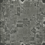
|
CF-16-I-178
38.184869 -95.961702 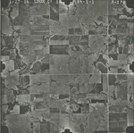
|
CF-16-I-180
38.185278 -95.935171 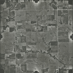
|
CF-16-I-182
38.185747 -95.910842 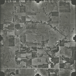
|
CF-16-I-184
38.187398 -95.88308 
|
CF-16-I-186
38.186572 -95.858693 
|
|
CF-16-I-188
38.187694 -95.834384 
|
CF-16-I-190
38.188044 -95.806509 
|
CF-16-I-192
38.184971 -95.783038 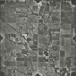
|
CF-16-I-194
38.184287 -95.753949 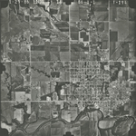
|
CF-16-I-196
38.184051 -95.724148 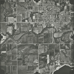
|
CF-16-I-198
38.183635 -95.700935 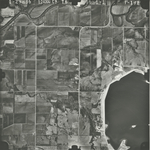
|
|
CF-16-I-200
38.182806 -95.674338 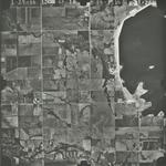
|
CF-16-I-202
38.182806 -95.647214 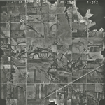
|
CF-16-I-204
38.182213 -95.621044 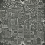
|
CF-16-I-206
38.18174 -95.596826 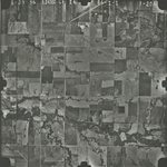
|
CF-16-I-208
38.182271 -95.570728 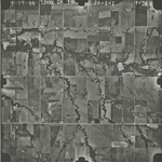
|
CF-16-I-210
38.183035 -95.545113 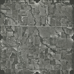
|
|
CF-16-I-211
38.181267 -95.531699 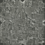
|
CF-16-I-212
38.181916 -95.519014 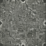
|