| Folder No. | County Name City |
Scanning | TSR | Quadrangle | Lat/Long | Project | Dates | Miscellaneous | Range of sheets | No. of sheets |
Cabinet | Notes |
|---|---|---|---|---|---|---|---|---|---|---|---|---|
|
Sheet 1, No. 570
View |
Comanche
No city |
Scanned
(5 online) |
T. 32-33 S., R. 16 W. | Wilmore SE, Indian Creek |
37.216929
-99.019613 |
CHK | 7-14-1950 | 6G-54, 56, 58, 60, 62 | 5 | 11 | No folder, no other information |
Click on any thumbnail to view a larger photo.
|
CHK-6G-54
37.16263 -99.024288 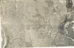
|
CHK-6G-56
37.185557 -99.018151 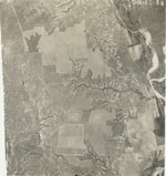
|
CHK-6G-58
37.215639 -99.01904 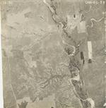
|
CHK-6G-60
37.246459 -99.017382 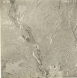
|
CHK-6G-62
37.274358 -99.019206 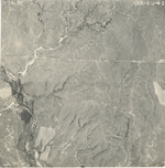
|