| Folder No. | County Name City |
Scanning | TSR | Quadrangle | Lat/Long | Project | Dates | Miscellaneous | Range of sheets | No. of sheets |
Cabinet | Notes |
|---|---|---|---|---|---|---|---|---|---|---|---|---|
|
Sheet 1, No. 573
View |
Comanche, Clark
No city |
Scanned
(26 online) |
T. 30-35 S., R. 20 W. | Turkey Creek, Lexington, Sugarloaf, Trout Creek, Buffalo NE |
37.173663
-99.527783 |
CHK | 6-14-1950 | Elevation = 20000 | 2G-58 to 30 | 26 | 12 | Folder labeled 17-01 |
Click on any thumbnail to view a larger photo.
|
CHK-2G-30
36.975208 -99.526265 
|
CHK-2G-31
36.991158 -99.528315 
|
CHK-2G-32
37.006089 -99.528116 
|
CHK-2G-33
37.021266 -99.528904 
|
CHK-2G-34
37.037083 -99.526925 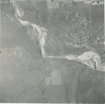
|
CHK-2G-35
37.05285 -99.524508 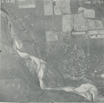
|
|
CHK-2G-36
37.069346 -99.52451 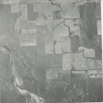
|
CHK-2G-37
37.084785 -99.524204 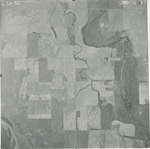
|
CHK-2G-38
37.100515 -99.524132 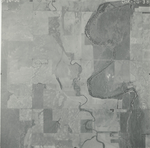
|
CHK-2G-39
37.116853 -99.52626 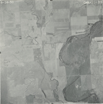
|
CHK-2G-40
37.131438 -99.52619 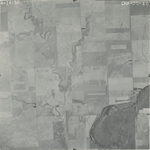
|
CHK-2G-41
37.146534 -99.527253 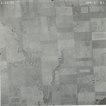
|
|
CHK-2G-42
37.160422 -99.527181 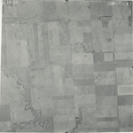
|
CHK-2G-43
37.176907 -99.527881 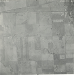
|
CHK-2G-44
37.193531 -99.528555 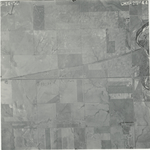
|
CHK-2G-45
37.206542 -99.531631 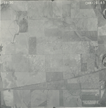
|
CHK-2G-46
37.221188 -99.531853 
|
CHK-2G-47
37.236993 -99.530707 
|
|
CHK-2G-48
37.252422 -99.528807 
|
CHK-2G-49
37.265502 -99.529901 
|
CHK-2G-50
37.280551 -99.529325 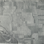
|
CHK-2G-51
37.294921 -99.528752 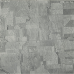
|
CHK-2G-55
37.351803 -99.527878 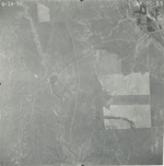
|
CHK-2G-56
37.366534 -99.52708 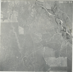
|
|
CHK-2G-57
37.380366 -99.528217 
|
CHK-2G-58
37.394419 -99.529019 
|