| Folder No. | County Name City |
Scanning | TSR | Quadrangle | Lat/Long | Project | Dates | Miscellaneous | Range of sheets | No. of sheets |
Cabinet | Notes |
|---|---|---|---|---|---|---|---|---|---|---|---|---|
|
Sheet 1, No. 575
View |
Comanche
Protection |
Scanned
(30 online) |
T. 30-35 S., R. 20 W. |
37.184527
-99.453613 |
CHK | 6-15-1950 and 6-24-1950 | Elevation = 20000 | 4G-122 to 140; 5G-31 to 21 | 30 | 12 | Folder labeled 17-03 |
Click on any thumbnail to view a larger photo.
|
CHK-4G-122
37.389502 -99.454332 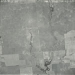
|
CHK-4G-123
37.375896 -99.454518 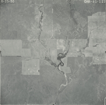
|
CHK-4G-124
37.362722 -99.454009 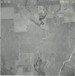
|
CHK-4G-125
37.352223 -99.455153 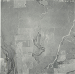
|
CHK-4G-126
37.337825 -99.454607 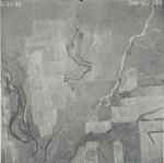
|
CHK-4G-127
37.321959 -99.453835 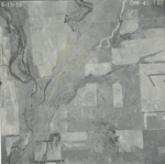
|
|
CHK-4G-128
37.308811 -99.454424 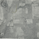
|
CHK-4G-129
37.29438 -99.454132 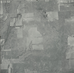
|
CHK-4G-130
37.279597 -99.45443 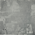
|
CHK-4G-131
37.264795 -99.454568 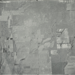
|
CHK-4G-132
37.250636 -99.452651 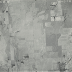
|
CHK-4G-133
37.235968 -99.452426 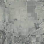
|
|
CHK-4G-134
37.221533 -99.45257 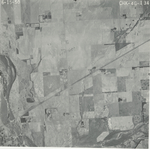
|
CHK-4G-135
37.207037 -99.454486 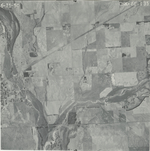
|
CHK-4G-136
37.192519 -99.453893 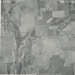
|
CHK-4G-137
37.177941 -99.453451 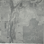
|
CHK-4G-138
37.163599 -99.453156 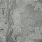
|
CHK-4G-139
37.148834 -99.452639 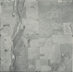
|
|
CHK-4G-140
37.134378 -99.452345 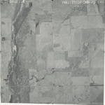
|
CHK-5G-21
36.976169 -99.45397 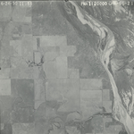
|
CHK-5G-22
36.9875 -99.453753 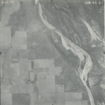
|
CHK-5G-23
37.003295 -99.452081 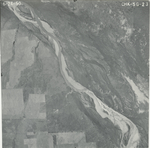
|
CHK-5G-24
37.017612 -99.454113 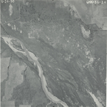
|
CHK-5G-25
37.031285 -99.454549 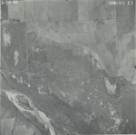
|
|
CHK-5G-26
37.046518 -99.454042 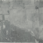
|
CHK-5G-27
37.060464 -99.454477 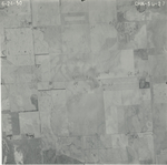
|
CHK-5G-28
37.076437 -99.454187 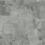
|
CHK-5G-29
37.091239 -99.451867 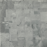
|
CHK-5G-30
37.105344 -99.45194 
|
CHK-5G-31
37.119794 -99.451798 
|