| Folder No. | County Name City |
Scanning | TSR | Quadrangle | Lat/Long | Project | Dates | Miscellaneous | Range of sheets | No. of sheets |
Cabinet | Notes |
|---|---|---|---|---|---|---|---|---|---|---|---|---|
|
Sheet 1, No. 577
View |
Comanche, Kiowa, Woods, OK
No city |
Scanned
(28 online) |
T. 30-35 S., R. 19 W. |
37.201744
-99.382954 |
CHK | 6-15-1950 | Elevation = 20000 | 4G-117 to 99, 95-87 | 28 | 12 | Folder labeled 17-05 |
Click on any thumbnail to view a larger photo.
|
CHK-4G-87
36.976591 -99.381178 
|
CHK-4G-88
36.99032 -99.381366 
|
CHK-4G-89
37.008687 -99.382072 
|
CHK-4G-90
37.021312 -99.382428 
|
CHK-4G-91
37.035504 -99.378989 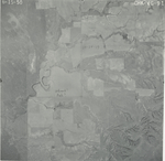
|
CHK-4G-92
37.050739 -99.380142 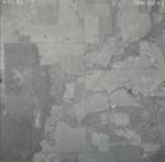
|
|
CHK-4G-93
37.065027 -99.381144 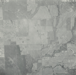
|
CHK-4G-94
37.080371 -99.38208 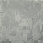
|
CHK-4G-95
37.092802 -99.38018 
|
CHK-4G-99
37.149268 -99.382354 
|
CHK-4G-100
37.163865 -99.383312 
|
CHK-4G-101
37.178454 -99.382974 
|
|
CHK-4G-102
37.193219 -99.383652 
|
CHK-4G-103
37.207496 -99.383419 
|
CHK-4G-104
37.222107 -99.386434 
|
CHK-4G-105
37.236644 -99.38475 
|
CHK-4G-106
37.251088 -99.384241 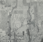
|
CHK-4G-107
37.265692 -99.384802 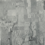
|
|
CHK-4G-108
37.280216 -99.384689 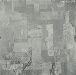
|
CHK-4G-109
37.294689 -99.383715 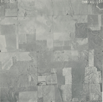
|
CHK-4G-110
37.310595 -99.383499 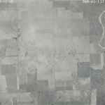
|
CHK-4G-111
37.325923 -99.383998 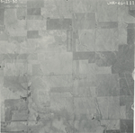
|
CHK-4G-112
37.338256 -99.384565 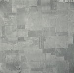
|
CHK-4G-113
37.352944 -99.384849 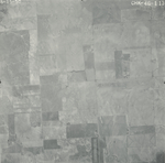
|
|
CHK-4G-114
37.367125 -99.383645 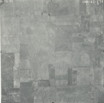
|
CHK-4G-115
37.382049 -99.383218 
|
CHK-4G-116
37.397135 -99.381873 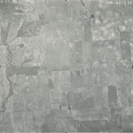
|
CHK-4G-117
37.410724 -99.383146 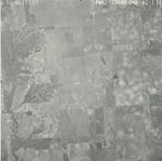
|