| Folder No. | County Name City |
Scanning | TSR | Quadrangle | Lat/Long | Project | Dates | Miscellaneous | Range of sheets | No. of sheets |
Cabinet | Notes |
|---|---|---|---|---|---|---|---|---|---|---|---|---|
|
Sheet 1, No. 578
View |
Comanche, Kiowa
Coldwater |
Scanned
(31 online) |
T. 30-35 S., R. 19 W. |
37.192019
-99.343923 |
CHK | 6-15-1950 | Elevation = 20000 | 4G-55 to 84 | 31 | 12 | Folder labeled 17-06 |
Click on any thumbnail to view a larger photo.
|
CHK-4G-55
37.403996 -99.345069 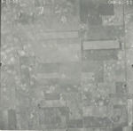
|
CHK-4G-56
37.389496 -99.344997 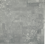
|
CHK-4G-57
37.374751 -99.345206 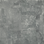
|
CHK-4G-58
37.362646 -99.345492 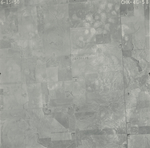
|
CHK-4G-59
37.351049 -99.345775 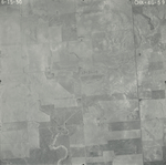
|
CHK-4G-60
37.33838 -99.345849 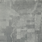
|
|
CHK-4G-61
37.323956 -99.346205 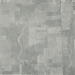
|
CHK-4G-62
37.309443 -99.346201 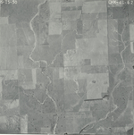
|
CHK-4G-63
37.295497 -99.346129 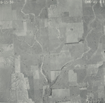
|
CHK-4G-64
37.281151 -99.346109 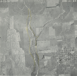
|
CHK-4G-65
37.265737 -99.34596 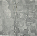
|
CHK-4G-66
37.251384 -99.346862 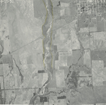
|
|
CHK-4G-67
37.23652 -99.346397 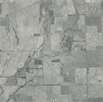
|
CHK-4G-68
37.222407 -99.344234 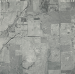
|
CHK-4G-69
37.20777 -99.345913 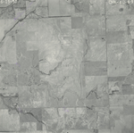
|
CHK-4G-70
37.193186 -99.34406 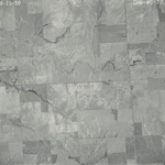
|
CHK-4G-71
37.178537 -99.341974 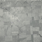
|
CHK-4G-72
37.164084 -99.342543 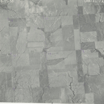
|
|
CHK-4G-73
37.149471 -99.343413 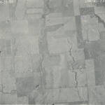
|
CHK-4G-74
37.134855 -99.341866 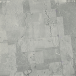
|
CHK-4G-75
37.12031 -99.342739 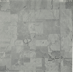
|
CHK-4G-76
37.105976 -99.342133 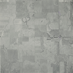
|
CHK-4G-77
37.091766 -99.342342 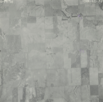
|
CHK-4G-78
37.076732 -99.340637 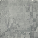
|
|
CHK-4G-79
37.062329 -99.340567 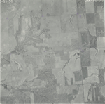
|
CHK-4G-80
37.047731 -99.340581 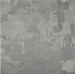
|
CHK-4G-81
37.033048 -99.342372 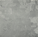
|
CHK-4G-82
37.018101 -99.342332 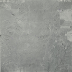
|
CHK-4G-83
37.002457 -99.34304 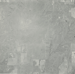
|
CHK-4G-84
36.987212 -99.340703 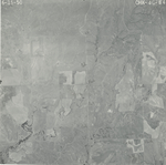
|
|
CHK-4G-85
36.972619 -99.34391 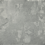
|