| Folder No. | County Name City |
Scanning | TSR | Quadrangle | Lat/Long | Project | Dates | Miscellaneous | Range of sheets | No. of sheets |
Cabinet | Notes |
|---|---|---|---|---|---|---|---|---|---|---|---|---|
|
Sheet 1, No. 579
View |
Comanche, Kiowa
Coldwater |
Scanned
(31 online) |
T. 30-35 S., R. 18-19 W. |
37.193623
-99.309954 |
CHK | 6-15-1950 | Elevation = 20000 | 4G-53 to 23 | 31 | 12 | Folder labeled 17-07 |
Click on any thumbnail to view a larger photo.
|
CHK-4G-23
36.982118 -99.308391 
|
CHK-4G-24
36.992734 -99.307447 
|
CHK-4G-25
37.010531 -99.306983 
|
CHK-4G-26
37.022706 -99.30706 
|
CHK-4G-27
37.037754 -99.307083 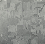
|
CHK-4G-28
37.047925 -99.307076 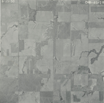
|
|
CHK-4G-29
37.063156 -99.306936 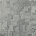
|
CHK-4G-30
37.076994 -99.307344 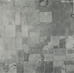
|
CHK-4G-31
37.091315 -99.308573 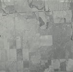
|
CHK-4G-32
37.10593 -99.3083 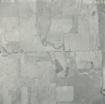
|
CHK-4G-33
37.120802 -99.308436 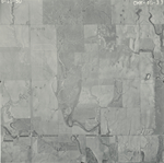
|
CHK-4G-34
37.135227 -99.307957 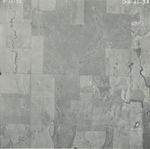
|
|
CHK-4G-35
37.149448 -99.311005 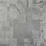
|
CHK-4G-36
37.164546 -99.311353 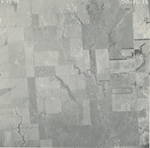
|
CHK-4G-37
37.179195 -99.311216 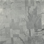
|
CHK-4G-38
37.193202 -99.307926 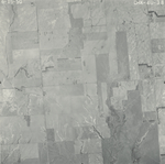
|
CHK-4G-39
37.208101 -99.311415 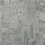
|
CHK-4G-40
37.222457 -99.310343 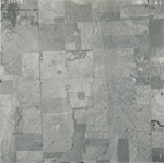
|
|
CHK-4G-41
37.237058 -99.310266 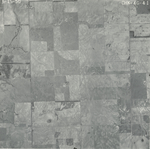
|
CHK-4G-42
37.24413 -99.311853 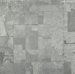
|
CHK-4G-43
37.256279 -99.311922 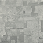
|
CHK-4G-44
37.281229 -99.310824 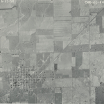
|
CHK-4G-45
37.295056 -99.310208 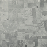
|
CHK-4G-46
37.3096 -99.310151 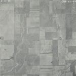
|
|
CHK-4G-47
37.324214 -99.311334 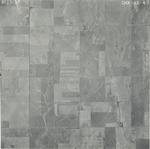
|
CHK-4G-48
37.338654 -99.31264 
|
CHK-4G-49
37.353259 -99.312514 
|
CHK-4G-50
37.367943 -99.311893 
|
CHK-4G-51
37.382458 -99.312329 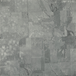
|
CHK-4G-52
37.39678 -99.314267 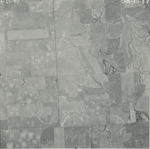
|
|
CHK-4G-53
37.411513 -99.313535 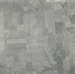
|