| Folder No. | County Name City |
Scanning | TSR | Quadrangle | Lat/Long | Project | Dates | Miscellaneous | Range of sheets | No. of sheets |
Cabinet | Notes |
|---|---|---|---|---|---|---|---|---|---|---|---|---|
|
Sheet 1, No. 582
View |
Comanche, Kiowa
Wilmore |
Scanned
(31 online) |
T. 30-35 S., R. 17-18 W. |
37.193607
-99.199717 |
CHK | 6-15-1950 | Elevation = 20000 | 3G-77 to 107 | 31 | 12 | Folder labeled 17-10 |
Click on any thumbnail to view a larger photo.
|
CHK-3G-77
37.411415 -99.20038 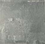
|
CHK-3G-78
37.397831 -99.20021 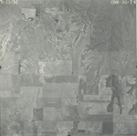
|
CHK-3G-79
37.383343 -99.199079 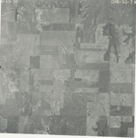
|
CHK-3G-80
37.368674 -99.200604 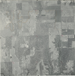
|
CHK-3G-81
37.354473 -99.201509 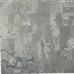
|
CHK-3G-82
37.340058 -99.201398 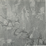
|
|
CHK-3G-83
37.325478 -99.201339 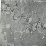
|
CHK-3G-84
37.310721 -99.200976 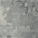
|
CHK-3G-85
37.296064 -99.201779 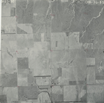
|
CHK-3G-86
37.2813 -99.201961 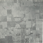
|
CHK-3G-87
37.266817 -99.201528 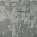
|
CHK-3G-88
37.2509 -99.201342 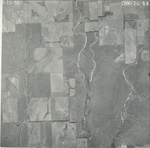
|
|
CHK-3G-89
37.237964 -99.201585 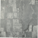
|
CHK-3G-90
37.223455 -99.201769 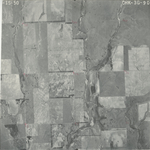
|
CHK-3G-91
37.208808 -99.201146 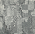
|
CHK-3G-92
37.194395 -99.200831 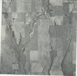
|
CHK-3G-93
37.179955 -99.200761 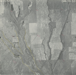
|
CHK-3G-94
37.165339 -99.201257 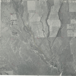
|
|
CHK-3G-95
37.15097 -99.201134 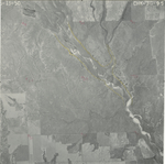
|
CHK-3G-96
37.135978 -99.199818 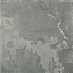
|
CHK-3G-97
37.121549 -99.199816 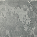
|
CHK-3G-98
37.105019 -99.200492 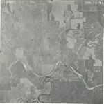
|
CHK-3G-99
37.091325 -99.194329 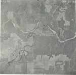
|
CHK-3G-100
37.077475 -99.196291 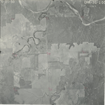
|
|
CHK-3G-101
37.061484 -99.196224 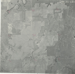
|
CHK-3G-102
37.046529 -99.196499 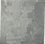
|
CHK-3G-103
37.032775 -99.196171 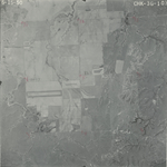
|
CHK-3G-104
37.017549 -99.197589 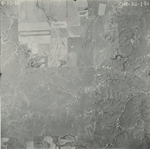
|
CHK-3G-105
37.002927 -99.19806 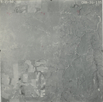
|
CHK-3G-106
36.986541 -99.196862 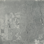
|
|
CHK-3G-107
36.974719 -99.198474 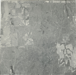
|